35
Aerial Imaging Concepts
Understanding key concepts in aerial images can help you understand the mission planning process and create
better maps.
Distance-Based Imaging
By default, the X8 captures only the images required to create the map. The autopilot monitors the distance
traveled by the X8 and sends a command to the camera to capture an image at the distance interval specified
by the camera trigger distance parameter (CAM_TRIGG_DIST). This parameter is set by the Mission Planner
Survey Tool during survey configuration by calculating the minimum distance between images based on the
parameters specified for the survey (altitude, overlap, sidelap). This distance-based imaging allows for more
precise data collection, resulting in less images and data storage cost.
Once configured, the Survey Tool creates an event at the start of the mission script (after takeoff) to set the
camera trigger distance to the specified interval and an event at the end of the mission (before landing) to reset
the camera trigger distance to 0. Therefore, while on the ground and during landing, the camera captures no
images because the camera trigger distance is set to 0 m.
Time-Based Imaging
The X8 is also equipped to capture images at a consistent time interval instead of using distance. This function
can be useful if you want to capture images over an area without planning a mission. This time-based imaging
results in more images per area, and therefore more processing time and storage cost. See the intervalometer
option on page 36 to enable time-based imaging.
Overlap and Sidelap
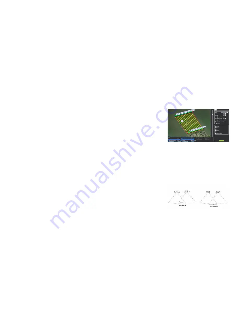
To capture images for the map, the X8 flies a lawnmower-like pattern in strips across the survey site. The front-
to-back overlap between sequential images is called overlap; the side overlaps of adjacent pictures in different
strips is called sidelap. The overlap and sidelap parameters in the Survey Tool (see Advanced Options page
16) determine the distance between images and the number of images to be captured based on the projected
ground area that each image will cover, called a footprint. The Survey Tool uses a default overlap of 50% and a
default sidelap of 60%. Increasing overlap and sidelap improves the accuracy of the map while increasing flight
time and processing time.
In the Survey Tool,
Distance between Images
shows
the specified camera trigger distance that will
be assigned to the mission. You can also see
the projected image footprint size and the total
number of images to be captured.
Default overlap: 50%
Default sidelap: 60%


