A-Rival 2.5 User’s Guide
27
It is advisable to choose „Truck“ from the „Profiles“ menue (see chapter 5.7) as the
software will then calculate routes which are optimized for large truck usage (e.g. the
route will avoid small roads and stay on main roads as long as possible). Large and
heavy trucks will find these routes much easier to navigate then routes calculated with
the „car“ profile.
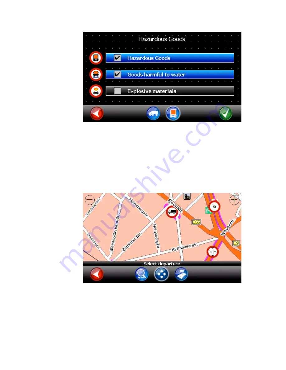
Roads which are stored in the navigation database as having truck attributes are
marked in the maps with a pink outline. When zooming in, a restrictions sign displays
the concrete restriction in that road. For reason of a good overall overview not all signs
can be displayed in the map. However, they will be used for route guidance when
truckrouting is activated (for map display also refer to Chapter 5.4).
PLEASE NOTE: The absence of a restriction sign does not mean that there is no
restriction on the real road!
5.1.2 Destination in a restricted area
If the chosen destination is in a restricted area and can therefore not be reached with
the current settings (truck routing, route settings 5.6) the navigation software will display
a map of the surrounding area of the destination.


