8
Quantix™ © AeroVironment 2017–2019
Quantix™ © AeroVironment 2017–2019
9
Plan Locations on AV DSS
After registering your Quantix, start by
planning your locations online in AV DSS.
Before you use your Quantix system:
•
and crop type
• Data analytics are generated
for each location
1
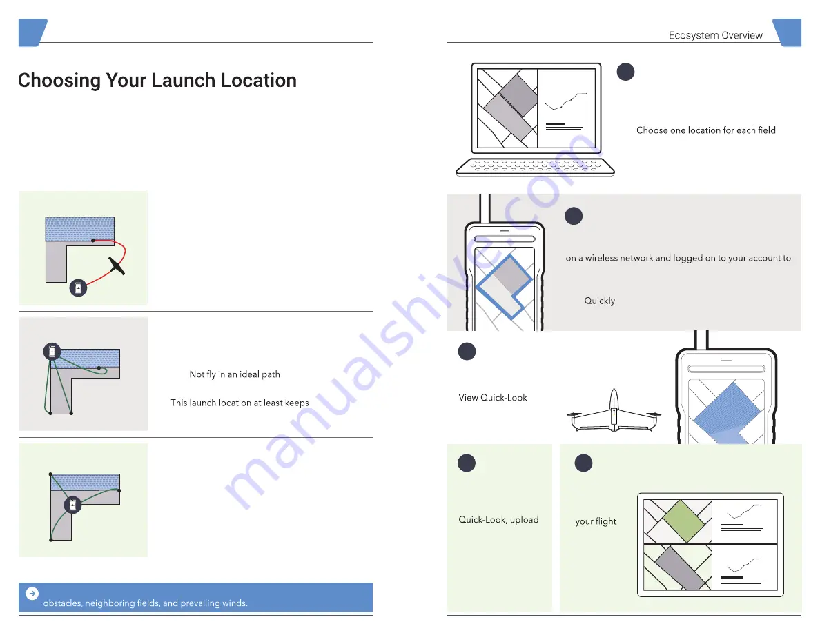
Planning a Mission
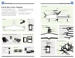
There are many options on where to place
your Quantix for launch. This location will
be considered ‘Home.’
In general you want to choose
a location that is:
• Flat and even ground
• Clear of all obstacles
within a 50 ft. radius
Not Great
Better
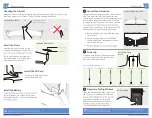
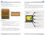
Choose the Best Launch Location
A Return Home Path Could:
• Fly over adjacent areas
• Fly into an unsafe area
• Fly into an undesirable zone
This launch location results in long
Return Home paths outside the area.
Any Return Home Path Would:
• Fly over intended areas
• Fly in a safe area
•
return paths over more of the area.
Centrally-Located All Return Home Paths:
• Have best line-of-sight
• Fly directly over intended areas
• Fly in a safe area
This ideal launch location is also centrally
located to minimize the time to execute a
Return Home.
Best
Use Your Best Judgment
— Select the best possible launch location based on
Fly Quantix™ and Gather Data
Use your Quantix system to gather data
of your collection areas.
immediately after
landing.
View Locations in AV DSS™
AV DSS™
will divide
imagery
into
separate
locations.
Plan Quantix Flights
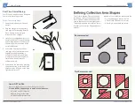
Using the Quantix tablet and application, create a
collection area of up to 400 acres. The tablet must be
download map data.
• May include multiple DSS locations
•
slew to a desired collection area with a city/
state, zip code, or by tapping the locate button.
Upload to
AV DSS™
After reviewing
collection areas using
your data securely to
AV DSS™ for deeper
analysis.
2
4
3
5
Summary of Contents for Quantix
Page 1: ...User Manual...
Page 2: ...User Manual...


