


Navigator 4.0 Help
65
© 2004 ... Directions Ltd
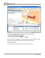
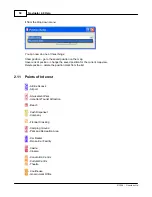
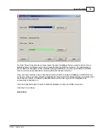
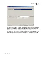
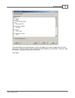
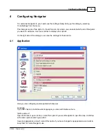
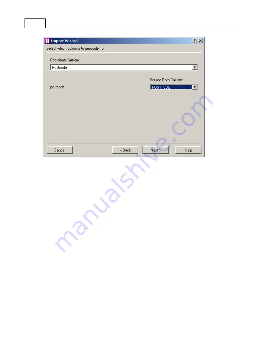
In order to import data to the right locations on the map it is necessary to tell Navigator how to
geocode it. From the Coordinate System drop down menu select what type of information your
database contains. If your data already contains geographical coordinates select the type you are
using. If you have address data from the United Kingdom you can choose to geocode data by
postcode. In this case your data must contain the full postcode.
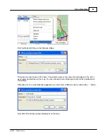
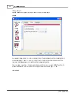
Once you have selected a coordinate system you must specify which column (field) in the database
contains this information. In some instances, like British National Grid or Latitude/Longitude, two
fields must be selected. In other cases, like postcodes and Ordnance Survey, only one field is
necessary.
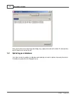
Click
Next>
to continue.
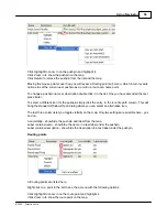
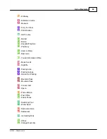
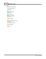
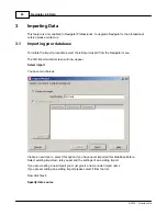
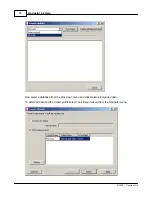
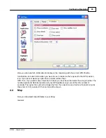
Select icon(s)
Summary of Contents for NAVIGATOR 4
Page 1: ...2004 Directions Ltd Navigator Manual version 4 0...
Page 4: ...Part I...
Page 9: ...Part II...
Page 63: ...Part III...
Page 76: ...Part IV...
Page 90: ...Part V...
Page 102: ...Part VI...