MAP 600 – User’s Manual
Page 25
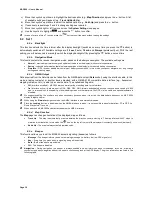
modify the scale ratio by moving to the left or right the Joystick. Then, you can confirm the desired option by pressing the
Enter button, or you can exit without making any change by pressing the Esc button.
9.2.g
Setup Map
This menu allows you to set the map according to your needs. The following options are available:
1. Measure Distance
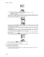
This is a tool that allows measuring distance from different points (max. 5) on the map. Its use is very easy:
1)
Press and select
Measure dist.
, then confirm with
Enter
.
2)
With the Joystick, move the cursor to position it on the first point, and then press the
button. ”
Ø m”
will appear beside the
cursor.
3)
Move the cursor using the Joystick. Please note that a conjunction dashed line (-----) is drawn and the distance from the first
point is displayed beside the cursor.
4)
Once the second point has been reached, press the
button to fix it and leave the measured distance on the map.
5)
You can repeat step 3) and 4) to make the measure starting from the second point to reach the third, and so on, up to 5
points max.
6)
If finished, you can delete the map measurement by selecting, this time,
End Measure
from the same menu.
2. Orientation
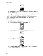
The map orientation displayed on the
Map
page can be determined as follows:
•
Track Up
– The map is automatically oriented towards the direction wherein you are moving. Map
rotates with 45° steps in order to maintain this orientation. In this mode, the
icon on the upper left
corner of the display steadily indicates the North by its dark side.
•
North Up
– The map is always oriented toward North.
3. Show Map
You can rotate the display visualization by 90 degrees in order to take advantage of using the longer side of the
display as the wide side. In some situation this can be more useful, especially in the
Map
page visualization:
•
Vertical
•
Horizontal
2
In the horizontal displaying mode it is not possible to perform the GPS reset function (please refer to Par.14 for more details).
4. Show Road Name
This menu allows you to enable or disable the road name displaying on the GPS screen while you are moving,
allowing to clearly consult the map:
•
On
•
Off
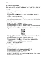
From the “
Setup Map
” page, you can access to a sub-menu with the following options by pressing the button:
•
Display Items
•
Initial Value
•
Set Location
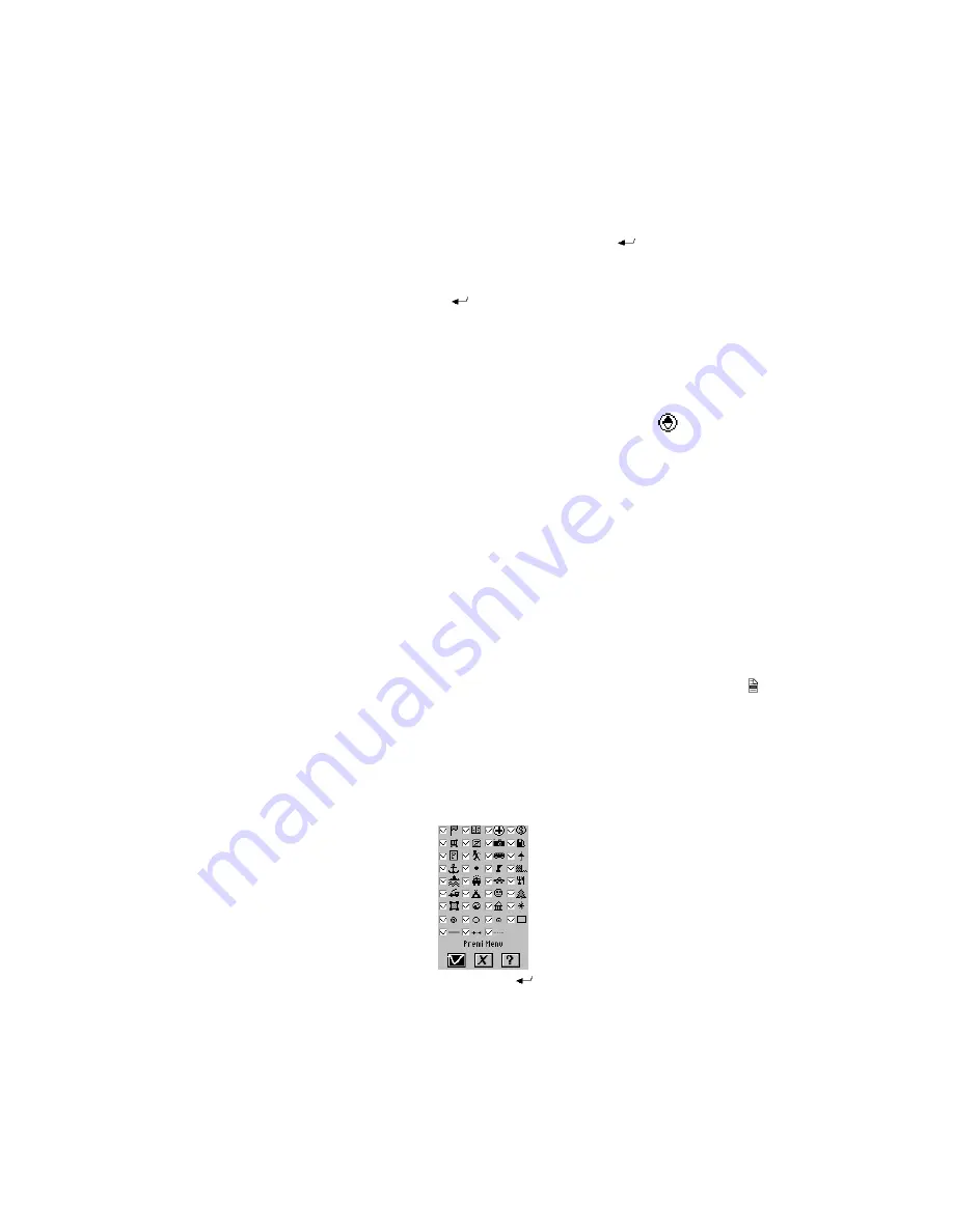
5. Display Items (diagram 1)
This option allows to hide/show the indication symbols on the map (i.e. roads, cities of different size, schools,
hospitals, railway stations, etc.). This way allows you to hide the indications you don’t need and let appear just
only the necessary ones.
1
1) Highlight the
?
button with the Joystick and press the
button. In this way, you can read the meaning of
every symbol present on more screens that you can switch by moving to left or right with the Joystick.
Summary of Contents for MAP600
Page 1: ......


