A boundary line can be created to define the field size
and use automatic part-width section control. The
boundary line is marked on the map with a blue line.
Exclusion areas within a field where the application
should be stopped can be marked with a boundary line.
Exclusion areas are shaded in dark grey.
To ensure uniform application, track lines can be created
to support the driver in following the track. Track lines
are also required for automatic steering. Track lines are
shown in red on the map.
2.1 Calling up the map view
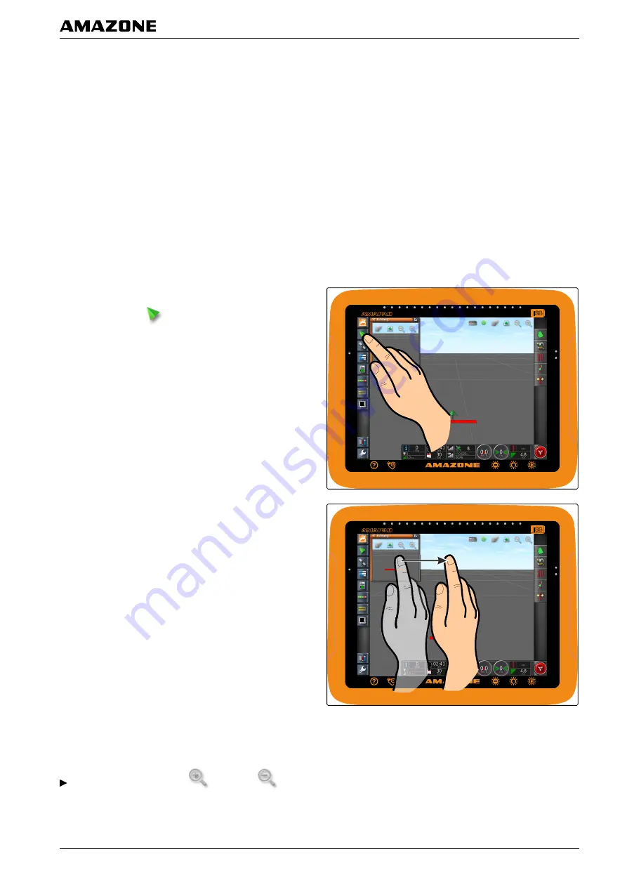
1. In the function menu, open the miniature view of the
map view with
.
2. enlarge the miniature view.
2.2 Enlarging or reducing the map
In the map view, enlarge
or reduce
the
map section.
002420
002417
G | Using the operating menu | Using the map view
MG5574-
EN
-II | B.1 | 25.10.2016
103


