Map Display
125
Places (Minor)
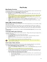
Places (minor) include smaller towns (beginning at data zoom level 5-0); subdivisions (10-0) and locales, small
islands, and natural landmarks, such as a desert (11-0).
Roads (Minor)
View secondary roads at data zoom level 7-0 and greater. View local and rural routes, trails and foot trails at data
zoom level 11-0 and greater.
Town Borders
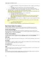
View town borders at data zoom level 10-0 and greater for the following states:
Arkansas
Connecticut
Illinois
Indiana
Iowa
Kansas
Louisiana
Maine
Maryland
Massachusetts
Michigan
Minnesota
Mississippi
Missouri
Nebraska
New Hampshire
New Jersey
New York
North Carolina
North Dakota
Ohio
Pennsylvania
Rhode Island
South Dakota
Vermont
Virginia
Washington DC
West Virginia
Wisconsin
Urban Area Color
Displays a shaded map area in populated regions.
International Labels
View country labels at data zoom levels 2-0 through 5-0.
Map Center Crosshair
The map center crosshair indicates the map center at any data zoom level.
Changing the Map Display
This Help topic describes the steps necessary to change the map colors, to change the map magnification, and to
change the data zoom level at which large POI symbols display on the map.
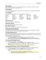
To Change the Map Colors
Often when using a laptop computer while traveling, it is difficult to see the map display on your screen. This can be
especially true at nighttime or on a bright sunny day. Changing your default (street) map colors to high-contrast map
colors can make your map display easier to see.
Use the following steps to change the map display.
1.
Click the
Map Display
tab and then click
Display
to display the Map Display options.
2.
From the Map Colors drop-down list, select
High-Contrast Colors
to change your map display to be
darker (for improved in-vehicle visibility). Select
Default Colors
to change it back to the standard display.
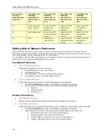
To Change the Map Magnification
Use the following steps to change the map magnification.
1.
Click the
Map Display
tab and then click
Display
to display the Map Display options.
2.
Select a magnification percentage (
50%
,
75%
,
100%
,
150%
, or
200%
) from the Magnification drop-
down list.
Note
: Although the size of the image changes, the degree of geographic detail does not.
To Change the Data Zoom Level for Large POI Symbols
Use the following steps to change the data zoom level at which large POI symbols are displayed on the map.
1.
Click the
Map Display
tab and then click
Display
to display the Map Display options.
2.
Select the desired data zoom level from the Large Symbols At drop-down list.
Notes
:
•
The appearance of the POI may change at different data zoom levels.
•
If you have selected to display major and minor POIs in the Map Display Features list, the
following actions may occur in Street Atlas USA:

