156
|
Chapter 9
Working with Map Layers
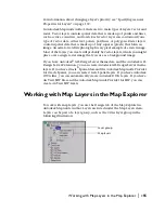
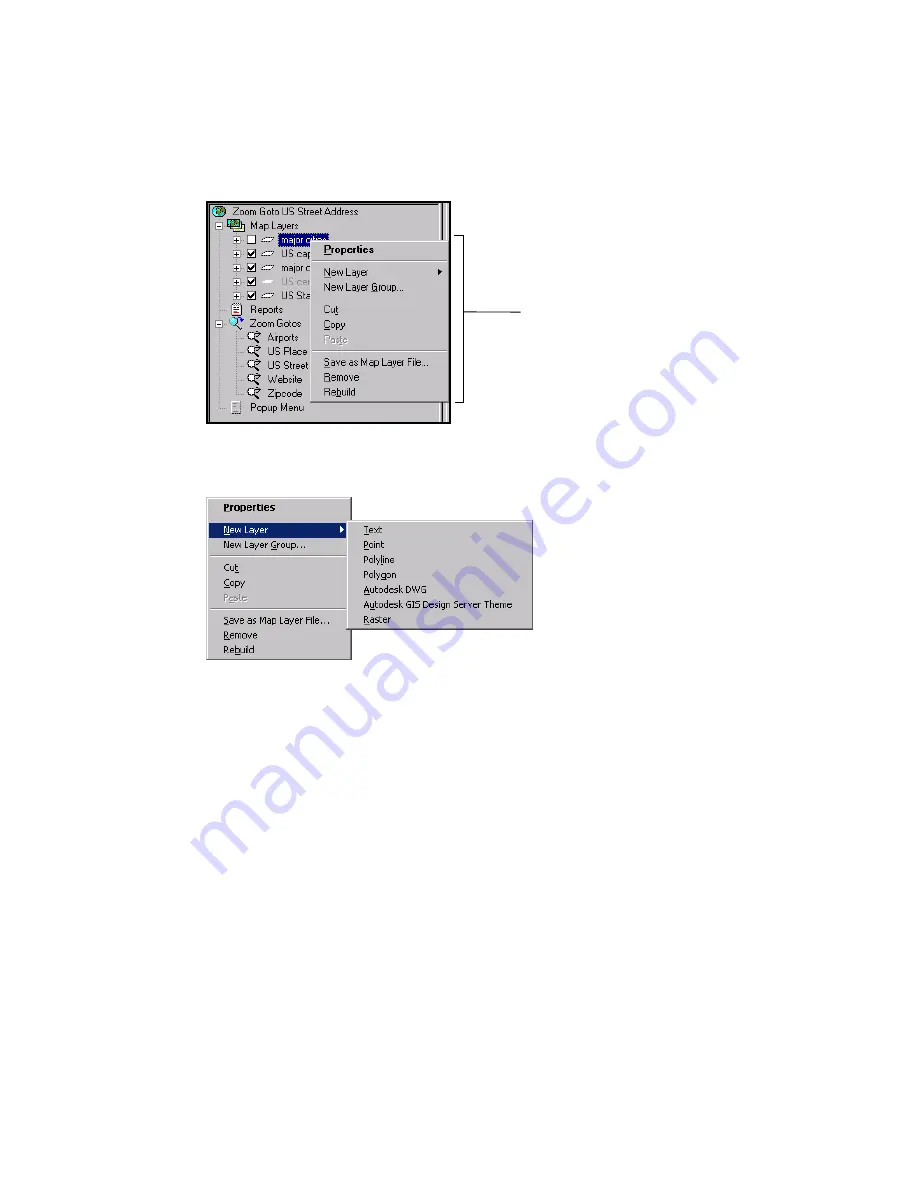
When you right-click a layer in the Design tab of the Map Explorer, the map
layer popup menu appears, as shown in the following illustration. You use
the commands in the map layer popup menu to create, modify, or manipu-
late the layers in a map.
You create new layers in the Design tab of the Map Explorer, using one of the
commands in the New Layer submenu in the map layer popup menu.
Creating a Vector Layer
You can create four types of vector map layers—text, point, polyline, and
polygon. Each layer can contain only one map feature type.
You create vector map layers from spatial data provider (SDP) data sources; if
you are creating point or text layers, you can also create them from points in
a SQL database table that you have set up as an OLE DB data source. You can
also use SQL database tables to link style information to the features in a
layer. For example, you could link a layer of roads to a table that provides
each road’s name, length, and last date paved. You could then create a theme
to display the data and quickly see which roads need paving the most.
For step-by-step instructions, choose Help
Contents, click the Index tab,
and look up “vector layers, creating.”
The map layer popup menu appears
when you right-click a layer.
Help Index
vector layers
creating
Summary of Contents for 15606-011408-9008 - MAPGUIDE R6.3 NAMED-100U PK
Page 1: ...15306 010000 5000 October 2001 Autodesk MapGuide Release 6 User s Guide ...
Page 8: ...viii ...
Page 92: ...92 ...
Page 152: ...152 ...
Page 188: ...188 ...
Page 204: ......

