600-00105-000 Rev 01
-13-
FlightMax EX5000
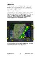
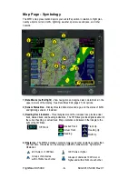
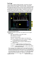
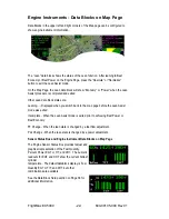
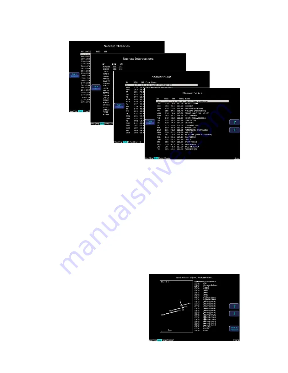
Nearest Page (NRST)
1) TYPE -
Cycles through the various data types in the following order:
Airports ->VORs ->NDBs ->Intersections ->Obstacles
2) NRST List -
Shows a list of the nearest data including identifier, bearing, dis-
tance, frequency, and name for
airports, VORs, and NDBs. Identifier, bearing, and distance are displayed for
intersections, and MSL (and AGL) height, bearing, and distance are displayed for
obstacles.
3) Selection Control -
Use line select keys or right knob to move the cursor up or
down to highlight a specific airport or other data type.
4) FILTER -
Press to see all airport types (SHOW ALL) or only the airport types as
defined on the Airport filter page (ON) (Reference Set Up Pages - Airport Filter,
Page 25). The Filter line select is only visible on the Nearest Airport page.
5) Airport Info -
Provides quick access to airport information for the
airport highlighted. Airport Info line select only appears when viewing the Nearest
Airport page.
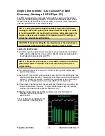
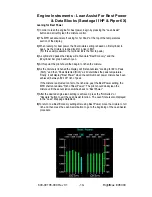
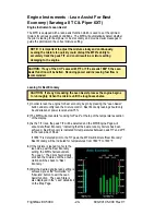
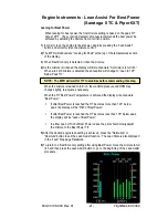
6) Graphical METAR -
Displays the
current reported conditions for that
airport, if the airport has weather
reporting.