
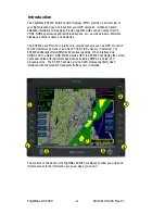
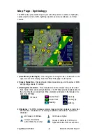
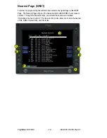
1) Sensor Functions -
Control overlay and modes of available sensors. Buttons are
only displayed for those sensors that are installed in the aircraft.
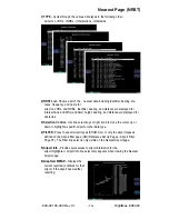
Traffic
button with TAS (SkyWatch or BendixKing) cycles through traffic sensor
modes and overlay in the following order:
Above ->Normal ->Below ->Unlimited (UNLIMTD) ->Traffic Overlay Off (DSPLY OFF)
Traffic
button, with Ryan TCAD, cycles through traffic sensor modes and overlays
based on the phase of flight as calculated from the TCAD. The modes are: Ground,
Terminal, Standard, Enroute, Unlimited, Approach, Departure and Display off.
Intruders are displayed as they are received from and identified by the sensor. The
threat level assigned to an intruder is the threat level specified by the sensor when it
transmits the intruder data. Threat data, range, bearing, altitude, ID, and closing
direction are defined by the sensor and the type of sensor used in your system.
Lightning
button cycles through lightning sensor modes and overlay in the
following order: Strike ->Cell ->Lightning Overlay Off (DSPLY OFF)
The lightning sensor maps thunderstorm activity by monitoring electrical discharge
activity within a 200-mile radius of the aircraft. Lightning strikes less than 25NM
distant are not displayed if the display range is set to less than 25NM. If the display
range is set to greater than 25NM, all lightning strikes will be displayed.
Clear Strikes
button removes lightning symbols to allow for the refresh of
lightning data.
Weather
button cycles through Datalink weather modes and overlay based on the
Datalink data requested from the Datalink Setup Page. With all data requested, the
order is: ALL (Nexrad, METARS and Airmets) ->REPORTS (METARS and Airmets)
-> NEXRAD -> Datalink Weather Display Off.
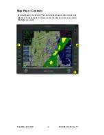
2) Map Functions -
Control basic look of the map in terms of orientation, number of
elements, and base map.
View
line select key orients the map for either Track/Heading Up or North Up.
FORWARD view orients the map with Track/Heading Up and the aircraft symbol at
the bottom of the screen. CENTER view orients the map with Track/Heading Up and
the aircraft symbol centered on the screen. NORTH UP orients the map with North
Up.
Declutter
line select key allows you to quickly choose from four levels of database
Nav Map detail from most to least:
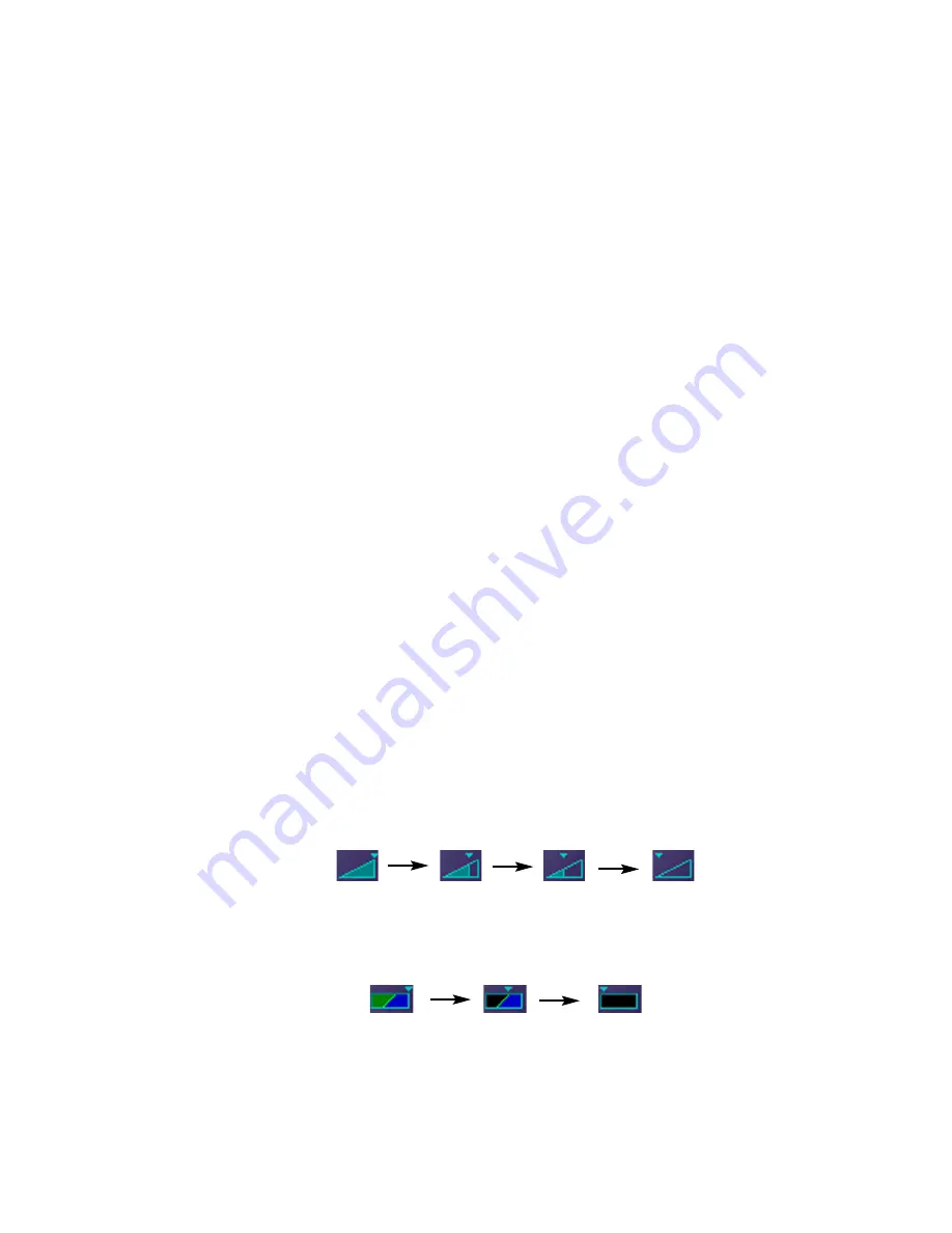
Base Map
line select key selects from three levels of map detail, starting with
contoured terrain with interstate highways, water base map, and political
boundaries. Pressing the key removes contoured terrain with Interstates, while
leaving water and political boundary references. Push again to view the flight plan
on a traditional EFIS-style black background.
3) Range Control
- Controls the map’s range and allows you to range down to 1NM
scale and out to 1500NM scale. The nineteen selectable ranges are 1, 2, 5, 10, 15,
20, 30, 40, 50, 75, 100, 150, 200, 300, 400, 500, 750, 1000, 1500.
(Note: Terrain base map is automatically removed and Nav database information is
fully decluttered at 750NM and higher ranges).
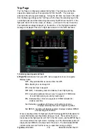
Map Page - Controls
600-00105-000 Rev 01
-5-
FlightMax EX5000