IFD500 Series Pilot Guide
Map Subsystem
4-9
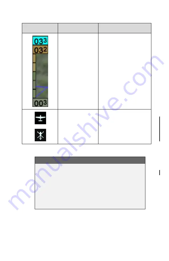
Map Symbol
Item
Description
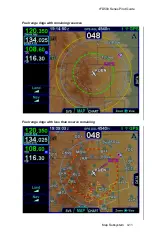
Terrain scale
Indicates highest and
lowest limits of the
terrain in displayed area
in hundreds of feet.
Legend colors in
between these values
represent terrain
elevations. Blue
obstacle clearance
number shows the top of
the highest obstacle,
when greater than the
highest displayed terrain.
Ownship symbol
Representation of
present position. Icon
selection is made in
Maintenance Mode (the
two shown to the left are
just examples)
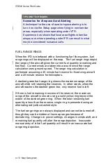
COOL FEATURE
Optional Airspace Aural Alerting
If selected on the Setup
page, an aural alert “Airspace
Ahead” will be issued when an imminent airspace
penetration is anticipated. This is designed to happen
approximately 5 minutes (± 30 sec) prior to the
projected airspace penetration. The aural alert will
repeat every 10 seconds until the condition is removed
or the associated CAS message is acknowledged.
Summary of Contents for IFD510
Page 1: ......
Page 140: ...IFD500 Series Pilot Guide 3 50 FMS Subsystem Weather Data on Info Tab Info Tab Nearby Navaids ...
Page 150: ...IFD500 Series Pilot Guide 3 60 FMS Subsystem User Waypoint Airfield Naming Example ...
Page 156: ......
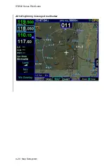
Page 180: ...IFD500 Series Pilot Guide 4 24 Map Subsystem ADS B Lightning Coverage Area Shadow ...
Page 252: ...IFD500 Series Pilot Guide 5 16 Aux Subsystem Trip Statistics Calculator ...
Page 460: ...IFD500 Series Pilot Guide 7 82 General Bluetooth pairing pairing code ...

