IFD500 Series Pilot Guide
SVS Subsystem
2-3
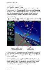
Placing the TVV/FPM above the terrain means that the airplane
will clear the terrain and vice versa. The terrain data and 9 arc-
second resolution used in creating the synthetic terrain depiction
is the same data and resolution used in the FLTA and TAWS
calculations for consistency.
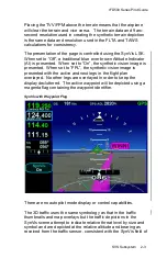
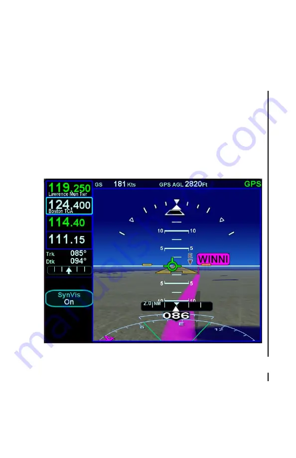
The presentation of the page is controlled using the SynVis LSK.
When set to “Off”, a traditional blue over brown Attitude Indicator
(AI)
is presented. When set to “On”, the synthetic vision image is
presented. When set to “FPL”, the synthetic vision image is
presented with the active and next legs in the flight plan
overlayed. No other legs are overlayed in order to keep the
display decluttered. The active waypoint will be depicted using a
magenta flag containing the waypoint identifier.
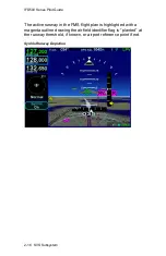
SynVis with Waypoint Flag
There are no autopilot mode display or control capabilities.
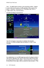
The 3D traffic uses the same symbology as that in the traffic
thumbnails and map overlays but the traffic depictions in the
SynVis scene attempt to indicate relative threat level by size and
symbol and are depicted at the relative altitude and bearing as
received from the traffic sensor, consistent with the SynVis field of
Summary of Contents for IFD510
Page 1: ......
Page 140: ...IFD500 Series Pilot Guide 3 50 FMS Subsystem Weather Data on Info Tab Info Tab Nearby Navaids ...
Page 150: ...IFD500 Series Pilot Guide 3 60 FMS Subsystem User Waypoint Airfield Naming Example ...
Page 156: ......
Page 180: ...IFD500 Series Pilot Guide 4 24 Map Subsystem ADS B Lightning Coverage Area Shadow ...
Page 252: ...IFD500 Series Pilot Guide 5 16 Aux Subsystem Trip Statistics Calculator ...
Page 460: ...IFD500 Series Pilot Guide 7 82 General Bluetooth pairing pairing code ...

