IFD500 Series Pilot Guide
2-22 SVS Subsystem
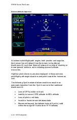
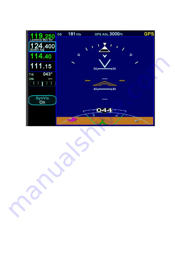
Extreme Attitude Depiction
At extreme pitch/flight path angles, both positive and negative,
the horizon line will detach from the terrain (or traditional
blue/brown AI) such that there will always be a strip of blue/sky or
brown/ground visible to aid in initiating unusual attitude
recoveries.
High/low pitch chevrons are also displayed in those extreme
pitch/flight path angle situations and point toward the horizon as
well.
The following SynVis-related failure conditions result in an
automatic transition from the SynVis scene to the traditional
blue/brown AI:
Loss of GPS position or track
Inability to convert GPS altitude to MSL altitude
Loss of pitch or roll data
Invalid or frozen terrain database data
Movement beyond the latitude limits of SynVis (valid
within the range 60°S latitude to 75°N latitude)
Summary of Contents for IFD510
Page 1: ......
Page 140: ...IFD500 Series Pilot Guide 3 50 FMS Subsystem Weather Data on Info Tab Info Tab Nearby Navaids ...
Page 150: ...IFD500 Series Pilot Guide 3 60 FMS Subsystem User Waypoint Airfield Naming Example ...
Page 156: ......
Page 180: ...IFD500 Series Pilot Guide 4 24 Map Subsystem ADS B Lightning Coverage Area Shadow ...
Page 252: ...IFD500 Series Pilot Guide 5 16 Aux Subsystem Trip Statistics Calculator ...
Page 460: ...IFD500 Series Pilot Guide 7 82 General Bluetooth pairing pairing code ...

