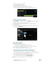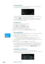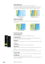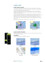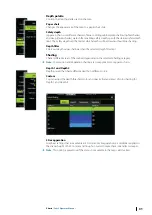
Insight view options
Chart detail
•
Full
All available information for the chart in use.
•
Medium
Minimum information sufficient for navigation.
•
Low
Basic level of information that cannot be removed, and includes information that is required
in all geographic areas. It is not intended to be sufficient for safe navigation.
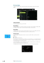
Insight chart categories
Insight charts include several categories and sub-categories that you can turn on/off
individually depending on which information you want to see.
Land Exaggeration and Water Exaggeration
Graphical settings available in 3D mode only. Exaggeration is a multiplier applied to the
drawn height of hills on land, and troughs in water to make them look taller or deeper.
Navionics charts
Navionics specific chart options
Orientation, Look ahead, 3D and change Chart source (previously described in this section)
are common for all chart types.
Community edits
Toggles on the chart layer including Navionics edits. These are user information or edits
uploaded to Navionics Community by users, and made available in Navionics charts.
For more information, refer to Navionics information included with your chart, or to
Navionics website: www.navionics.com.
Navionics view options
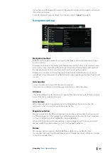
Chart shading
Shading adds terrain information to the chart.
Navionics dynamic tide and current icons
Shows tides and currents with a gauge and an arrow instead of the diamond icons used for
static tides and current information.
The tide and current data available in Navionics charts are related to a specific date and time.
The system animates the arrows and/or gauges to show the tides and currents evolution
over time.
26
Charts
| Zeus2 Operator Manual
Summary of Contents for Zeus2 series
Page 1: ...ENGLISH Zeus2 Operator Manual bandg com ...
Page 2: ......
Page 125: ......
Page 126: ...0980 988 10599 003 ...

