Charts
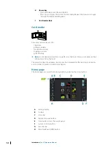
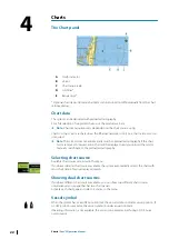
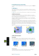
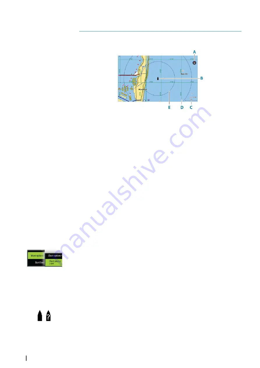
The Chart panel
A
North indicator
B
Vessel
C
Chart range scale
D
Grid lines*
E
Range rings*
* Optional chart items. Optional chart items can be turned on/off individually from the chart
settings dialog.
Chart data
The system can be delivered with preloaded cartography.
For a full selection of supported charts, visit the product web site.
Ú
Note:
Chart menu options vary depending on the chart you are using.
Charts on chart cards are shared over the Ethernet network, so only one chart card per vessel
is required.
Ú
Note:
The system does not automatically switch to preloaded cartography if the chart
card is removed. A low-resolution chart will be displayed until you re-insert the card or
manually switch back to the preloaded cartography.
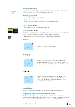
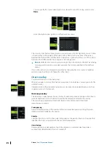
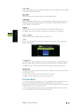
Selecting chart source
Available chart sources are listed in the menu.
If you have identical chart sources available, the system automatically selects the chart with
most chart details for your displayed region.
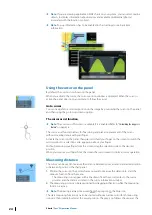
Showing dual chart sources
If you have different chart sources available, you can show two different chart sources
simultaneously on a page that has two chart panels.
Activate each chart page and select its source in the menu.
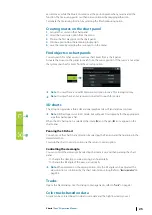
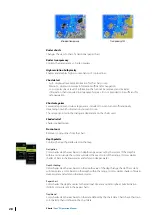
Vessel symbol
When the system has a valid GPS position lock, the vessel symbol indicates vessel position. If
no GPS position is available, the vessel symbol includes a question mark.
If heading information is not available, the vessel icon orientates itself using COG (Course
over Ground).
4
22
Charts
| Zeus³S Operation Manual
Summary of Contents for Zeus3S
Page 1: ...ENGLISH Zeus3 S Operator Manual www bandg com...
Page 2: ......
Page 139: ......
Page 140: ...988 12586 001...

