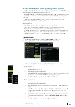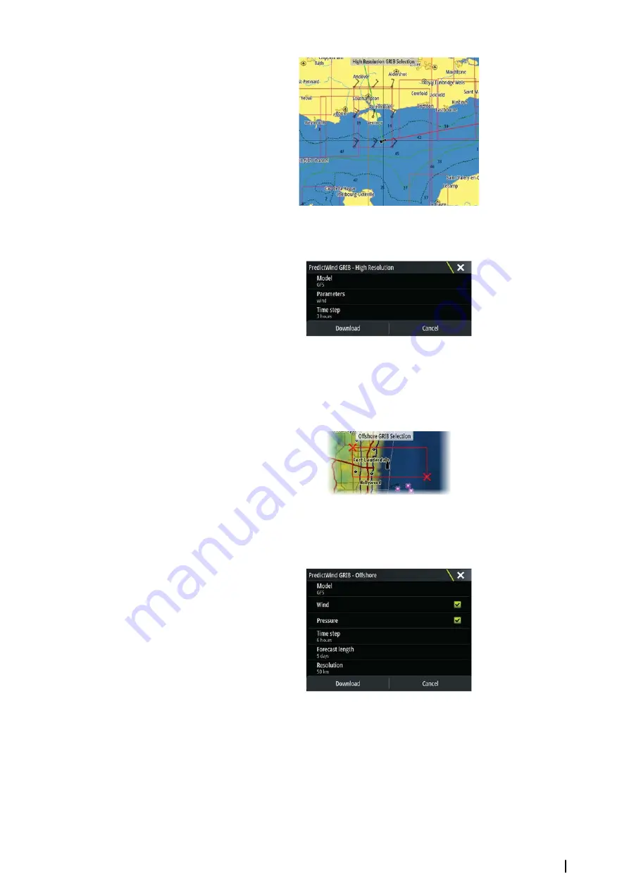
Specify the settings for the high resolution GRIB download, refer to
"PredictWind download settings"
on page 61.
Offshore area (lower resolution)
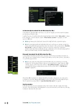
The chart is displayed when you select the offshore area (lower resolution) option with an
expandable rectangle. Drag the rectangle’s corner markers to create the area rectangle you
want to download GRIB weather for.
After you create your offshore area rectangle, choose the select option.
Specify the settings for the offshore (lower resolution) GRIB download, refer to
"PredictWind
download settings"
on page 61.
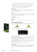
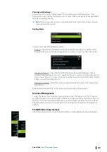
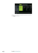
PredictWind download settings
Model
Allows you to select from the GRIB model options:
•
PWE (PredictWind Forecast) - PredictWind forecast based on the weather observation
from the European Centre for Medium-Range Weather Forecast.
•
GFS (Global Forecast System) - a weather observation file from the National Oceanic and
Atmospheric Administration (NOAA) of the USA Department of Commerce.
PredictWind
| Zeus³S Operation Manual
61
Summary of Contents for Zeus3S
Page 1: ...ENGLISH Zeus3 S Operator Manual www bandg com...
Page 2: ......
Page 139: ......
Page 140: ...988 12586 001...

