MR 109–( ) OPERATION MANUAL
T01008-MRR-0000
/
Issue:
a
Page
11
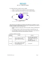
The LEOSAR system calculates the location of distress events using Doppler processing techniques.
Doppler processing is based upon the principle that the frequency of the distress beacon, as "heard"
by the satellite instrument, is affected by the relative velocity of the satellite with respect to the bea-
con. By monitoring the change of the beacon frequency of the received beacon signal and knowing
the exact position of the satellite, the LUT is able to calculate the location of the beacon.
5.3.2. GEOSAR
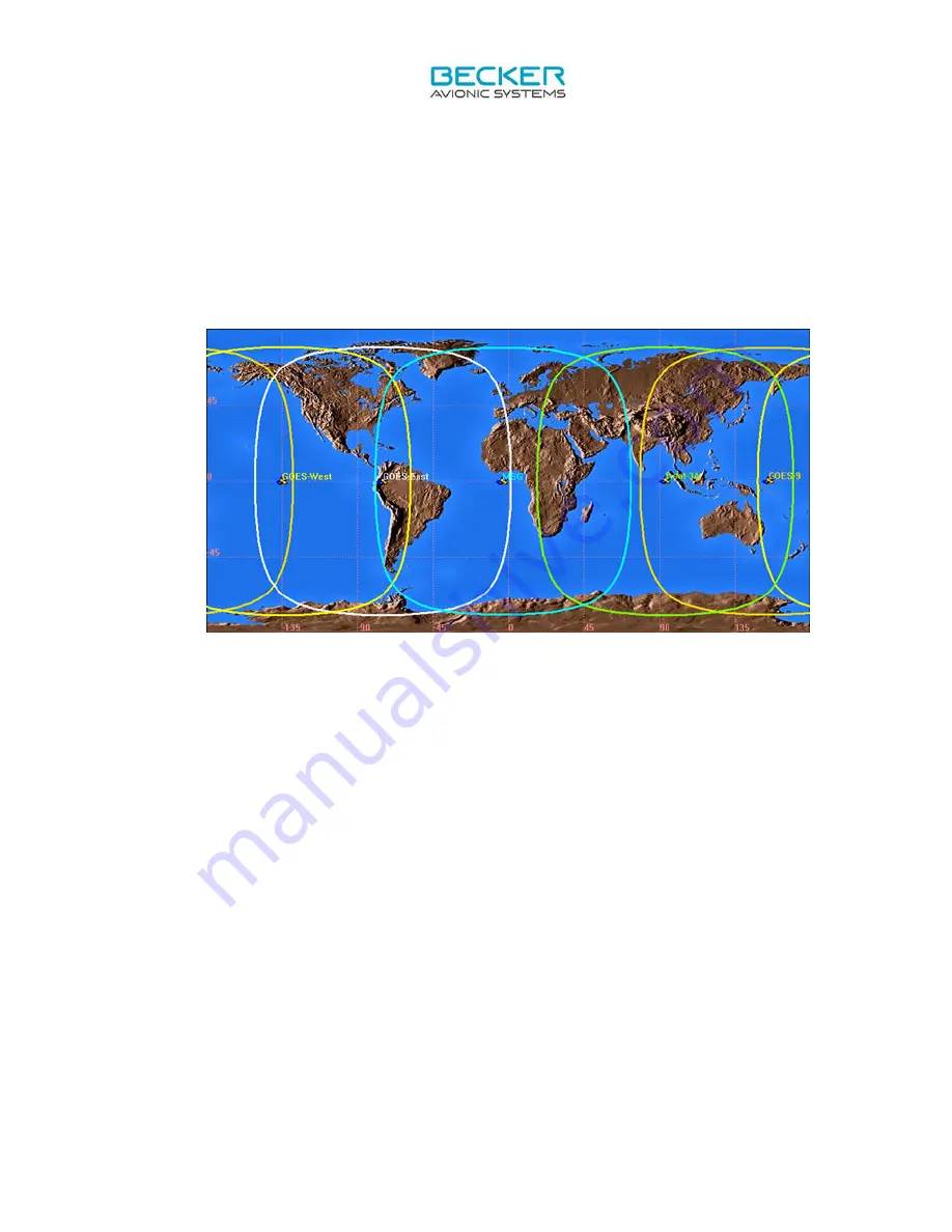
Satellite constellation
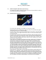
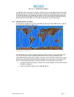
The GEOSAR constellation is comprised of satellites provided by the USA (GOES series), India (IN-
SAT series) and EUMETSAT (MSG series).
Image provided courtesy of Cospas-Sarsat
The GEOSAR system consists of 406 MHz repeaters carried on board various geostationary satel-
lites, and the associated ground facilities called GEOLUTs which process the satellite signal.
As a GEOSAR satellite remains fixed relative to the Earth, there is no Doppler effect on the received
frequency and Doppler radio location positioning techniques cannot be used to locate distress bea-
cons. To provide rescuers with beacon position information, such information must be either:
•
acquired by the beacon through an internal or an external navigation receiver and encoded in
the beacon message, or
•
derived, with possible delays, from the LEOSAR System.

