55
> EN
NAVIGATIONAL MODE
>>>
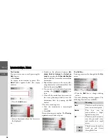
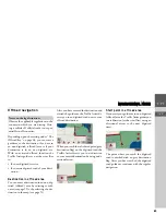
The Calculate key
A planned route can also be calculated
without GPS reception so that you can get
an overview of the journey.
When doing this, the first route point
specified is used as the starting point for
the route.
>
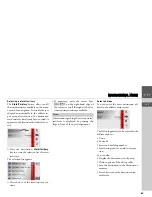
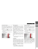
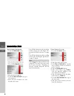
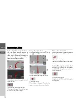
Press the button
Calculate
to have the
total distance and probable length of
the journey calculated for this route.
The
Routing options
entry window is
opened.
>
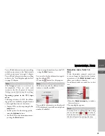
Define the settings you want.
>
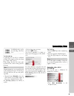
Press the
button.
The route is calculated. A window in-
forms you of the progress of the calcula-
tion.
Once the calculation is complete, the total
distance from the first to the last points on
the route and the probable length of the
journey for this route are displayed in the
Route planning
window under the list of
route points.
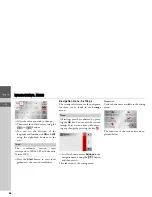
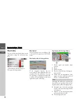
The Start key
>
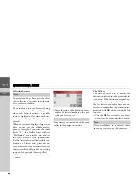
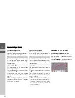
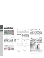
Press the
Start
key in the route planning
menu.
The route options are displayed again.
>
Press the
key again to start naviga-
tion.
Navigation menu: Enter
coordinates
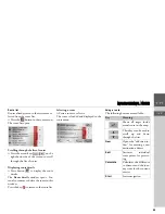
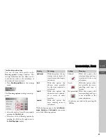
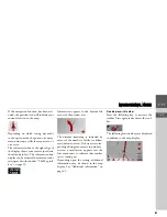
You can also enter a destination via
geographic coordinates.
>
Press
Enter coordinates
in the
navigation menu.
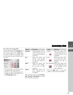
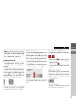
Individual entries can be
moved using these but-
tons.
Note:
During navigation, your current location
is the starting point used. The first leg is
then the journey to the first route point
specified.
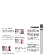
Note:
If no GPS signal is available, route guid-
ance is started automatically as soon as a
signal is received.
Summary of Contents for TRAFFIC ASSIST
Page 1: ...Instructions for Use ...

