


59
> EN
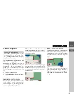
NAVIGATIONAL MODE
>>>
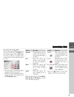
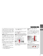
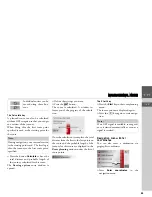
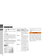
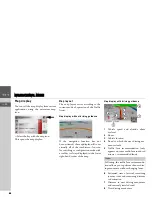
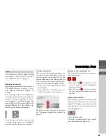
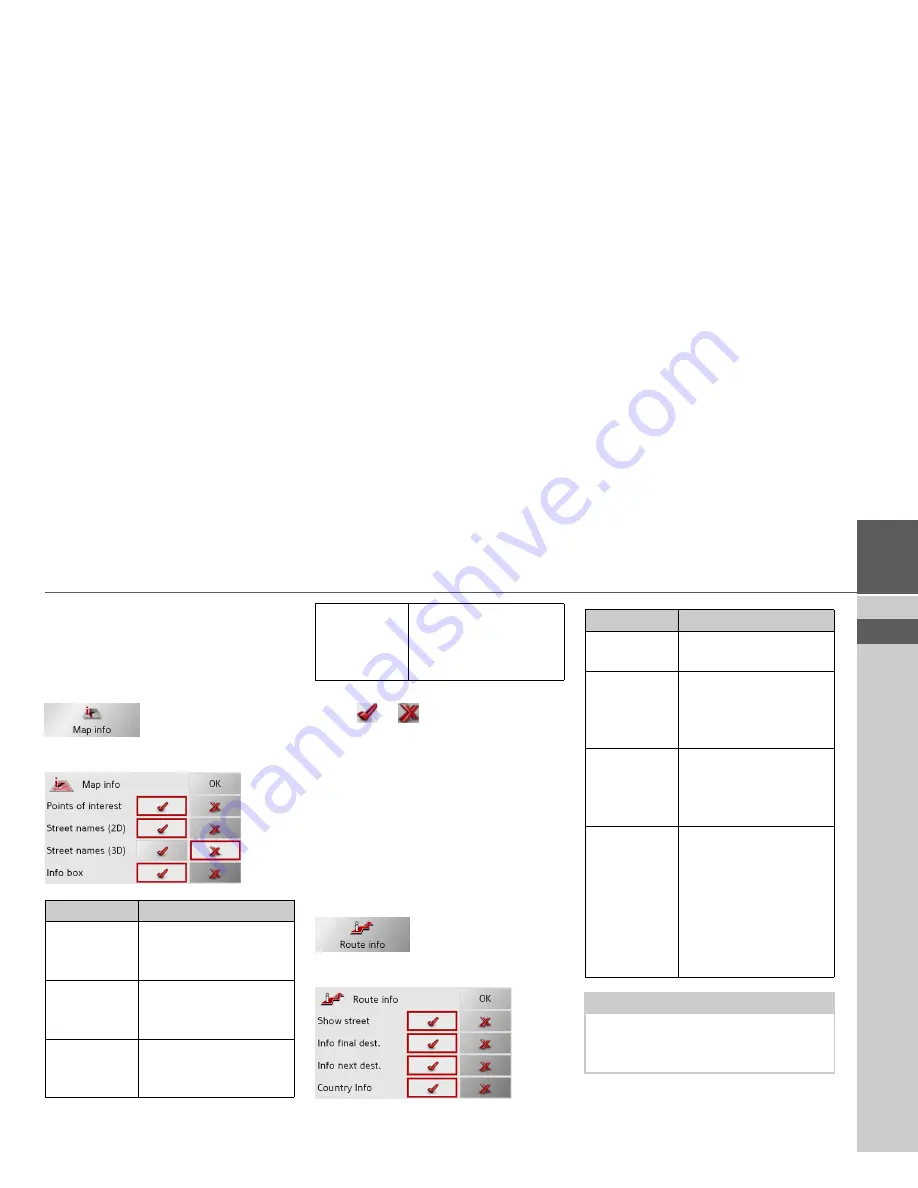
The Map info key
In the
Map info
settings window, you can
make settings for additional information
in the map display.
>
Press
Map info
in the settings menu.
The
Map info
settings menu appears.
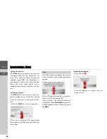
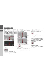
>
With the option buttons, press on ei-
ther
or
to enable or disable the
requirements.
>
Confirm your selection by pressing the
OK
key.
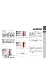
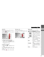
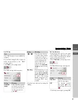
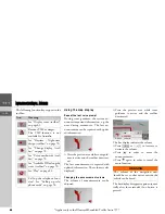
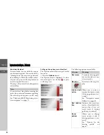
The Route info key
In the
Route info
settings window, you
can set which additional information you
would like displayed during route
guidance.
>
Press
Route info
in the settings menu.
The
Route info
settings menu appears.
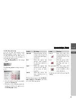
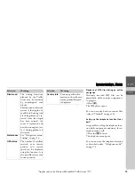
The following settings are possible.
Setting
Meaning
Points of in-
terest
If you activate this entry,
points of interest are dis-
played in the map.
Street names
(2D)
If you activate this entry,
all street names are dis-
played in the 2D map.
Street names
(3D)
If you activate this entry,
all street names are dis-
played in the 3D map.
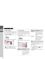
Info box
If you activate this entry,
the point of compass, the
speed and the sea level
are displayed.
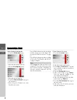
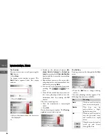
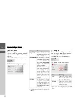
Setting
Meaning
Show street
Displays the current/next
street
Info final des-
tination
Displays ETA, distance
remaining, time until ar-
rival at the main destina-
tion.
Info next des-
tination
Displays ETA, distance
remaining, time until ar-
rival at the part-way des-
tination.
Country Info
When this function is ac-
tivated, you automatical-
ly receive general traffic
information relating to
the relevant country
when crossing its nation-
al border (e.g. speed lim-
its).
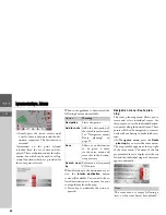
Note:
Some of this information can only be
displayed if it is contained in the map
material.
Summary of Contents for TRAFFIC ASSIST
Page 1: ...Instructions for Use ...