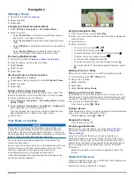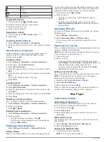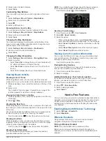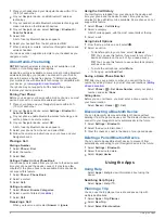
Setting Currency Conversion Rates
This feature is not available in all areas.
You can update the currency conversion rates for the unit
converter.
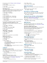
1
Select
Apps
>
Unit Converter
.
2
Select the button next to
Convert:
.
3
Select
Currency
, and select
Save
.
4
If necessary, select a currency button, select a different
currency, and select
Save
.
5
Select the button at the bottom of the screen that displays the
currency conversion rates.
6
Select the box next to a currency.
7
Enter a value, and select
Done
.
8
Select
OK
.
About Traffic
NOTICE
Garmin is not responsible for the accuracy or timeliness of the
traffic information.
Traffic information may not be available in all areas or countries.
For information about traffic receivers and coverage areas, go to
.
A traffic receiver is included in some packages, built into either
the vehicle power cable or the device, and is an optional
accessory for all models.
• The device must be connected to vehicle power to receive
traffic information.
• The powered traffic receiver and the device must be in data
range of a station transmitting traffic data to receive traffic
information.
• You do not need to activate the subscription included with
your traffic receiver.
•
changes color to indicate the severity of traffic conditions
on your route or on the road you are currently traveling.
• If your device includes an external traffic antenna, you should
always leave the external antenna plugged in for the best
traffic reception.
Receiving Traffic Data Using a Traffic
Receiver
NOTICE
Heated (metallized) windshields could degrade the performance
of the traffic receiver.
Before you can receive traffic data using a traffic receiver, you
must have a traffic-compatible power cable. If your device model
includes lifetime traffic, you should use the vehicle power cable
packaged with your device. If your device model does not
include traffic, you must purchase a Garmin traffic receiver
for more information.
NOTE:
A traffic receiver cannot be used when the device is
connected to the motorcycle mount.
Your device can receive traffic signals from a station
broadcasting traffic data.
NOTE:
In some areas, traffic information may be received from
FM radio stations using HD Radio
™
technology.
1
Connect the traffic-compatible power cable to an external
power source.
2
Connect the traffic-compatible power cable to the device.
When you are within a traffic coverage area, your device
displays traffic information.
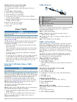
Traffic Receiver
À
Mini-USB connector
Á
External antenna connector
Â
Internal antenna
Ã
Power LED
Ä
Vehicle power adapter
About the Traffic Icon
When you are receiving traffic information, a traffic icon appears
on the map. The traffic icon changes color to indicate the
severity of traffic conditions.
Green
: Traffic is flowing freely.
Yellow
: Traffic is moving, but there is a delay. There is
moderate traffic congestion.
Red
: Traffic is not moving or moving very slowly. There is a
severe delay.
Gray
: Traffic information is not available.
Traffic on Your Route
When calculating your route, the device examines the current
traffic and automatically optimizes the route for the shortest
time. If a severe traffic delay occurs on your route while you are
navigating, your device automatically recalculates the route.
The traffic icon
changes color to indicate the severity of
traffic conditions on your route or on the road you are currently
traveling.
Your device may route you through a traffic delay if a better
alternative route does not exist. The delay time is added into
your estimated time of arrival automatically.
Viewing Traffic on Your Route
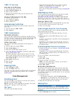
1
While navigating a route, select
.
2
Select
Traffic on Route
.
A list of traffic events appears, organized by their location on
the route.
3
Select an event.
Manually Avoiding Traffic on Your Route
1
From the map, select
.
2
Select
Traffic on Route
.
3
If necessary, use the arrows to view other traffic delays on
your route.
4
Select >
Avoid
.
Taking an Alternate Route
1
While navigating an automobile route, select
.
2
Select
Alternate Route
.
3
Select a route.
Viewing Traffic on the Map
The traffic map shows color-coded traffic flow and delays on
nearby roads.
1
From the map, select
.
2
Select
Traffic Conditions
.
10
About Traffic


