COMPETINO Manual
- 18 -
South Pole (90 degrees south). Longitude is measured from the Greenwich Meridian
(London, 0 degrees). East is positive (up to 180 degrees) and west is negative (-180
degrees).
In
Basic settings > Coordin. Format
choose the following display formats:
1) Degrees Minutes Decimal places of minutes dd°mm.mmm
2) Degrees Minutes Seconds dd°mm’ss”
3) Degrees Decimal places of degrees dd.ddddd
4) UTM (a grid with a 1km raster in both E-W and N-S directions)
5) Swiss grid
Basically, one should always attempt to use
dd°mm.mmm
(factory setting) as only this
format uses the same precise calculation format as the GPS receivers and this guaranties
the highest accuracy. With the other formats, rounding errors could sum up to 15m in worst-
case scenarios.
The
COMPETINO
also understands waypoints entered according to the standardized
convention of using 3 letters and 3 numbers (as created by Brauniger). For example,
LAB167
indicates a waypoint with the name LABxxx and an altitude of
1670 meters
absl.
Besides the International Geodetic System WGS84, many countries use their own map
references wherein the coordinates of the same point differ slightly from each other.
6.8.1 Waypoints - Alter, Delete, or Add
Waypoints can be managed at this location of the Main Setup
Menu (
Main Setup Menu > Waypoints
).
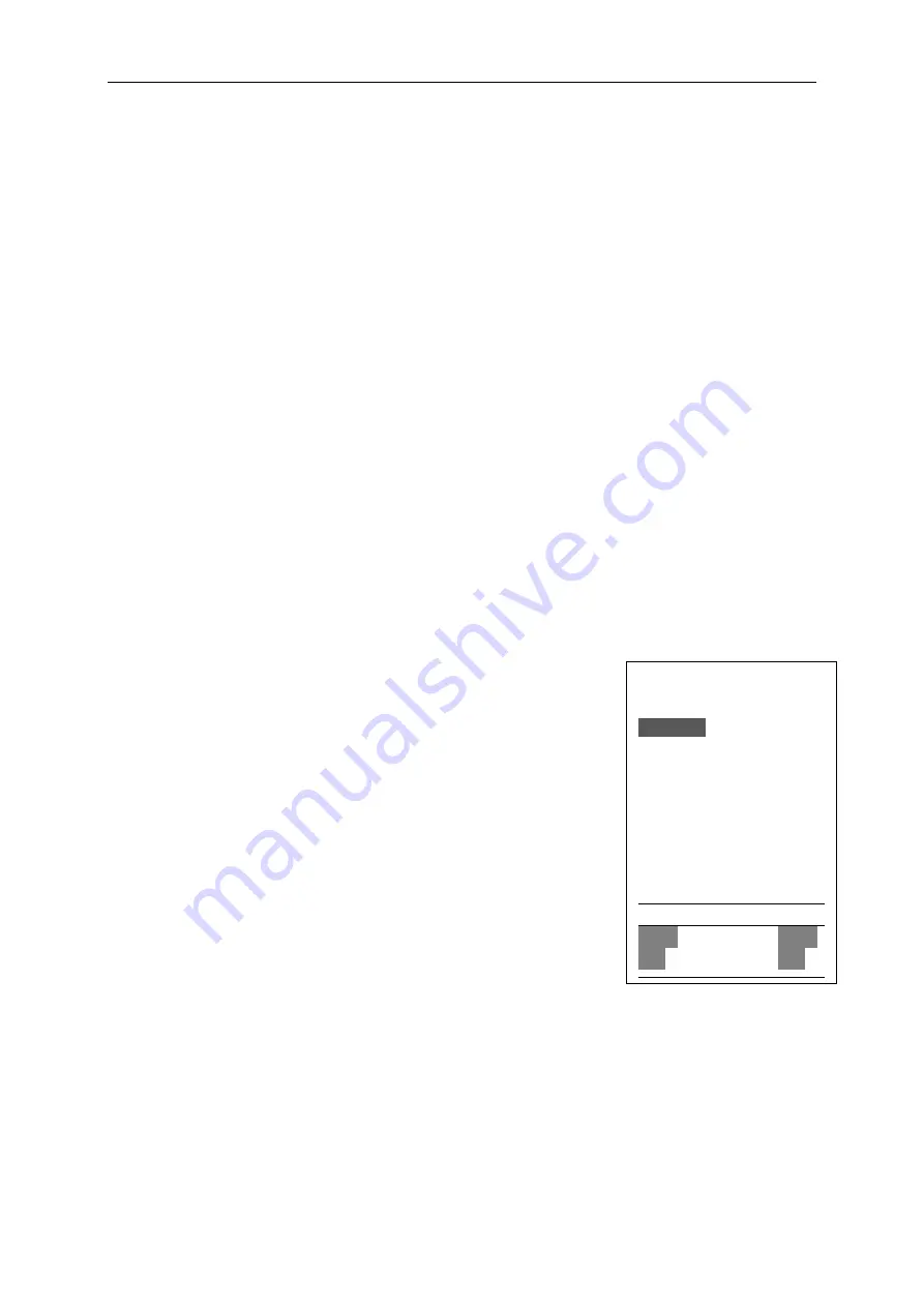
After briefly pressing the
Enter
key, the display shows the list of
logged waypoints (WPs).
All WPs are arranged in alphabetical order.
If this list contains more than 6 visible WPs, a down arrow at the
right lower edge of the list shows that additional pages follow.
To scroll down to the next page, press the
arrow (WPs 7 to
12 are now shown) and so on. You can select an individual WP
with the
or
keys, and edit it by pressing the
Enter
key.
The first letter of the WP name will blink; again with the
and
arrow keys you can select the desired letter. There are
numbers and letters, as well as a set of special symbols to
choose from. By pressing the
arrow you move forward to the
next letter. With the
F1
key you can switch between capital and
small letters and numbers. You can enter up to a maximum of
16 characters.
Once the name has been entered correctly, confirm by pressing
Enter
.
Now the waypoint
altitude blinks, asking for any alterations. Again you confirm by pressing
Enter
.
The WP
position comes next. First the latitude is entered in degrees and minutes, and is confirmed
by pressing
Enter
.
Next are the decimals of the minutes (depending on the Co-ordinate-
Format set in the Basic Settings). The same occurs with longitude. Holding the key down
longer changes the values to be set faster.
Waypoints
=================
Brauniger
Fiesch
Flims, Station
Cassons Grat
Laber Airfield
Bichl Landepl
=================
⇓
Fiesch
Alti 1048 m
Lat N 46’24.446
Lon E 011’08.264
=================
Ins
Ins
Ins
Ins
Del
Del
Del
Del
WP
WP
WP
WP
WP
WP
WP
WP


