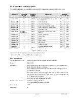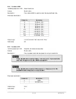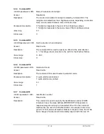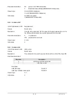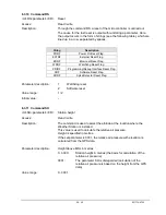
30 - 40
021774/07/14
Initial value:
0
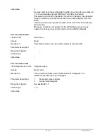
Remark: GPS determines ellipsoidal heights above the reference ellipsoid
(==> World Geodetic System WGS84). From 36m (in Western
Pomerania) up to 50m (in the Black Forest and in the Alps) the ellipsoidal
heights in Germany are higher than the heavy-related heights (NN, HN,
NHN).
That means, there are regional elevation errors which can be avoided by
manual entry.
Moreover, it must be considered that the GPS altitude values can be
subject to a change of up to 30m (referred to the WGS8 ellipsoid)
6.3.12 Command SV
<id>SV<CR>
SW-Version
Access:
Read
Description:
The software version can be read by means of command SV.
Parameter description:
-
Response telegram:
-
Value range:
-
Initial value:
-
6.3.13 Command TR
<id>TR<parameter><CR>
Telegram output
Access:
Read / write
Description:
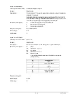
This command initiates one-off transmission of a telegram. The
parameter specifies the type of telegram.
Parameter description:
1
Measured value telegram.
2
Sensor data telegram.
Response telegram:
See
section
6.1.1
Value range:
1...2
Initial value:
-

