51
p) Export route as HTML fi le
You can store the route as an HTML fi le.
• Press the
button on the toolbar.
• You will now see a preview.
• Press ‘Save’ to confi rm.
• Select an appropriate storage location and confi rm the entry.
q) Export route
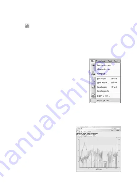
You can also export the route data in formats ‘GPX’, ‘NMEA’, ‘KML’ or ‘CSV’.
• Select ‘File/Export Track(s)...’ from the menu bar.
• Select the route you want to export.
• Select an appropriate storage location and confi rm the entry.
r) Speed/altitude view
You can display the speed and altitude of the waypoints concerned in the form of a dia-
gram.
The information on the speed and altitude of the in-
dividual waypoints is displayed in the right half of the
window in the ‘Speed/Altitude View’.
• Select a route.
• You use the ‘+’ und ‘-’ symbols to zoom in and out.
• You will see waypoints with linked photos as red
squares.
Move the mouse pointer to a red square and the cor-
responding photos will be displayed.
Summary of Contents for 37 27 38
Page 111: ...109...
Page 112: ...110...
Page 113: ...111...
Page 115: ...00086040bda indd 1 00086040bda indd 1 14 10 2009 8 53 16 Uhr 14 10 2009 8 53 16 Uhr...
Page 116: ...00086040bda indd 2 00086040bda indd 2 14 10 2009 8 53 17 Uhr 14 10 2009 8 53 17 Uhr...


