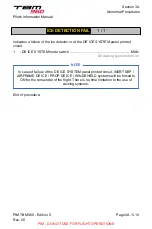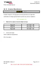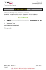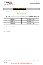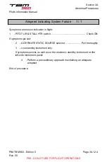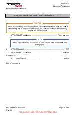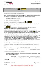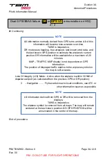
Dual GPS/SBAS failure (
DR
or
GPS LOI
annunciation on HSI)
2 / 2
► Continuing
NOTE
All information normally derived from GPS turns amber. All of this
information will become less accurate over time.
TAWS is inoperative.
DR mode uses heading, true airspeed, last known wind data, and
the last known GPS position to estimate the airplane’s current
position. DR information will be available for a maximum of 20
minutes.
MAP – TRAFFIC MAP display is not dependent on GPS
information.
The position of displayed traffic relative to the airplane symbol on
the map is still accurate.
Loss Of Integrity (LOI) Mode - Active when the airplane is within 30 NM of
departure airport (as calculated from the previous GPS or DR position):
3
- Navigation ....... Fly towards known visual conditions, use ATC or
other information sources as possible
NOTE
All information derived from GPS or DR will be removed from the
displays.
TAWS is inoperative.
The airplane symbol is removed from all maps. The map will remain
centered at the last known position. NO GPS POSITION will be
annunciated in the center of the map.
End of procedure.
Pilot's Information Manual
Section 3A
Abnormal Procedures
PIM TBM 960 - Edition 0
Rev. 00
Page 3A.12.8
PIM - DO NOT USE FOR FLIGHT OPERATIONS

