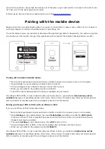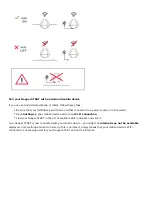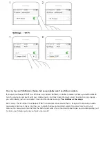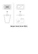
This message can also appear if the sonar has tilted as it is being reeled in or trolled, which results in it not
scanning straight down. It will also be shown if you are scanning in artificial waters like bathtubs or swimming pools.
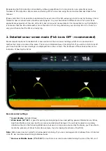
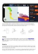
Time: Shows current time.
Device battery: Shows the battery charge percentage of your smart device and the Deeper sonar.
Water temperature and movement speed: Shows water temperature and boat movement speed, if your sonar
is set to Boat mode (not supported in Deeper Start model)
Settings – opens sonar settings menu.
Sharing, printing and downloading
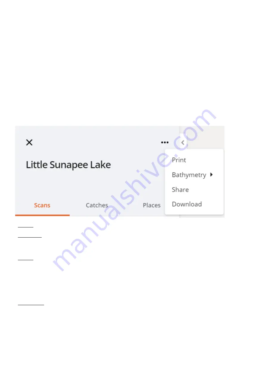
Select any scan and click on the expandable menu (three dots):
- Printing: will allow you to print out the map.
- Bathymetry: Auto and Fast displays will use the exact mapping data you gathered to fill in estimated depths for
sections nearby using special algorithms. The Detailed option will show only the exact bathymetric data that your
Deeper gathered, without any post-processing.
- Sharing: The third icon on the menu is for sharing. Click this and a unique link will be created. Then just copy the
link and send it to anyone you want to share this map. Please note that only bathymetric map can be shared at the
moment, and it is not possible to share the sonar scan data.
The link to your bathymetric map can be opened by anyone, including people who don’t have a Deeper account. If
the person accesses the link that you have shared, he will only see the bathymetric map. Any other data available
on your account will be inaccessible.
- Downloading: The fourth icon is for downloading your data. Click this icon and you will get a download of all your
mapping data in CSV format. You can then use this raw data in other mapping applications and programs. Exported
data appear in .CSV format that will contain such values as latitude, longitude, depth and a timestamp. Timestamp
will appear as the number of milliseconds that have elapsed since 00:00:00 Coordinated Universal Time (UTC),
Thursday, 1 January 1970. (UNIX Time)
Please note that GPS records latitude and longitude values approximately every second, thus you may see those
data values indicated as 0 - which happens if the depth was recorded, but the coordinates were not. The sonar
Summary of Contents for START
Page 40: ...Deeper Smart Sonar PRO ...
Page 41: ...Technical Specifications ...
Page 68: ...Soft bottom ...
Page 95: ...Deeper START ...
Page 96: ...Deeper 3 0 ...

