Topo USA User Guide
132
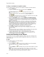
To Send a Track to a PN-Series GPS from the Map
1.
Click the Draw tab.
2.
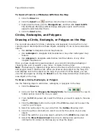
Click the Select tool
and then click the track on the map.
3.
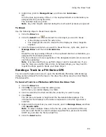
Right-click the track, point to Manage Draw, and then click Send to GPS.
The Earthmate PN-Series GPS Exchange dialog box opens and the track
appears under Selected Tracks.
4.
Click the Send button.
Circles, Rectangles, and Polygons
Drawing a Circle, Rectangle, or Polygon on the Map
You can add area objects (circles, rectangles, and polygons) to a draw file in your
current project. Area objects are those objects consisting of one or more closed line
objects.
•
Use circles to designate circular map features.
•
Use rectangles to designate land boundaries or any other rectangular map
feature.
•
Use polygons to designate water bodies, land boundaries, or any other
irregular map feature.
Once you have created an area draw object, you can edit (including reshaping or
changing line color or weight), copy, move, or delete it at any time.
Note The best way to measure a large area on the map is with the circle, rectangle,
and polygon tools in the Draw tab. When you draw an area object on the map, the
area displays next to the object on the map. If you click off of the object, you can
view the area again by clicking the Select tool in the Draw tab and then clicking the
area object on the map.
To Draw a Circle, Rectangle, or Polygon
Use the following steps to add circles, rectangles, or polygons to the map.
1.
Click the Draw tab.
2.
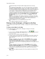
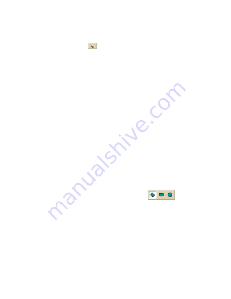
Click and hold the Polygon/Rectangle/Circle tool
to view its
hidden options. Select the tool you want.
3.
From the Fill drop-down list, select the fill style you want to apply to the area
object.
4.
Click the Fill Color button to the right of the Fill drop-down list to select the
color for your fill style.
5.
Select an outline style for your circle from the Outline drop-down list.
6.
Click the outline color button to select a color for the outline of your area
object.
7.
Select the width for your area object outline from the Width drop-down list.
8.
Select the Show Measurement check box to display area (and radius
information for circles) on the map as you draw the object.
Summary of Contents for Topo USA 8.0
Page 1: ...Topo USA 8 0 User Guide ...
Page 2: ......
Page 32: ......
Page 44: ......
Page 76: ......
Page 90: ......
Page 162: ......
Page 204: ......
Page 240: ......
Page 250: ......
Page 274: ......
Page 280: ...Topo USA User Guide 270 Z ZIP Postal Codes 36 Zone 234 Zoom Tools 10 20 Zooming In and Out 10 ...

