Copyright © 2022 DJI All Rights Reserved.
17
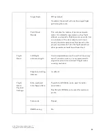
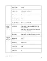
Enable the “Elevation Optimization” option;
In Advanced Settings, Side Overlap: 50%;
In Payload Settings, select “Single Return”, “240 kHz” and “Repetitive Scan”, and enable the “RGB
Coloring” option;
Save the mission;
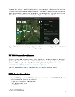
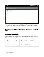
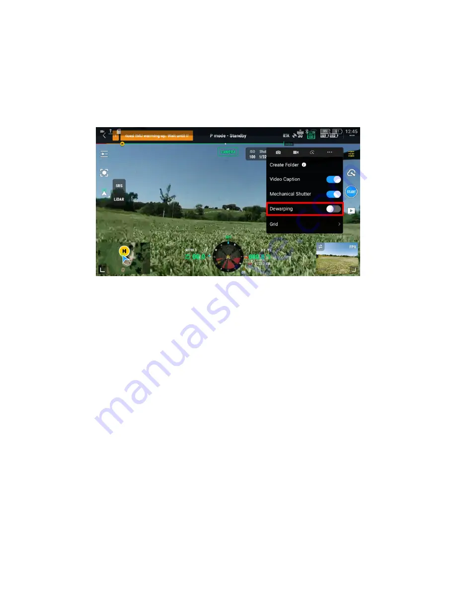
In L1 camera settings, disable the camera dewarping;
Figure: Dewarping Option in the Camera Settings
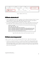
Execute the flight mission and obtain the raw data files collected by L1 and check whether the
images are clear and sharp, if not they cannot be used for calibration.
3.3.2 Use DJI Terra software to generate the calibration files
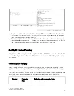
Use DJI Terra version 3.1.0 or above to create a new “LiDAR Point Cloud Processing”
reconstruction mission;
Import the dataset collected by defining the dataset directory and changing the “Scenarios”
option to “Zenmuse L1 Calibration”;
Start processing in Terra;
When the reconstruction is completed, please check if the point cloud model colorization is ok or
not. If there are still multiple layers or ghosting effects, please repeat step 1) and 2). If the result is
ok, you can proceed to use the calibration files from this mission;
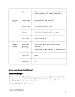
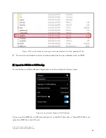
The calibration file with suffix “.tar” can be found under the PROJECT/lidars/terra_L1_cali”
directory as shown below:

