Ignis Operations Manual (DJI M600 Variant)
Drone Amplified
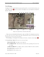
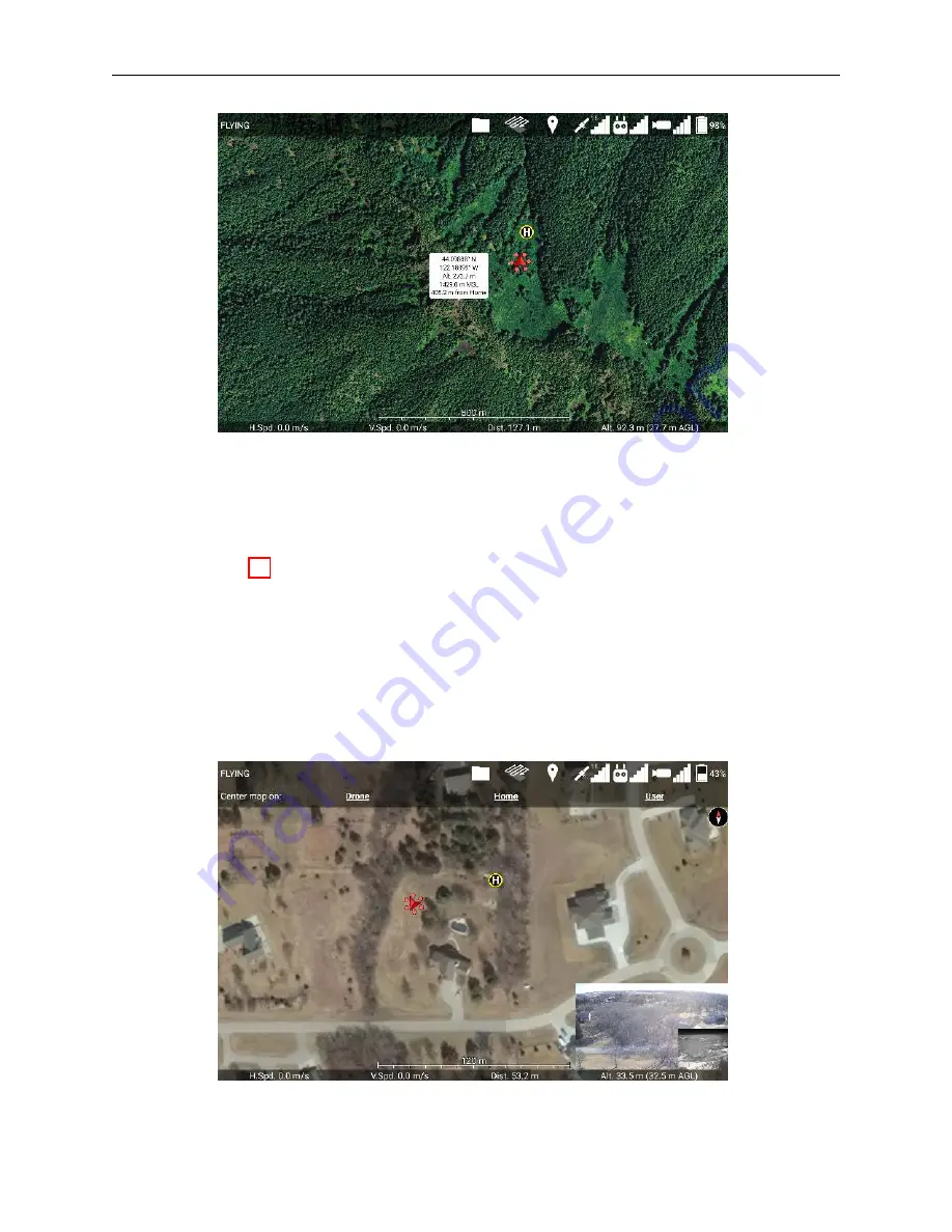
Figure 69: Touch a location on the map while no other menus are open, and an info bubble
about that location will appear. Touch the info bubble to hide it.
If you tap a location on the map, information about that point will be displayed, as
shown in Figure 69. This will show the latitude, longitude, altitude of the ground above
the takeoff location, elevation above mean sea level, and horizontal distance from the home
point. Some information will not be displayed if it cannot be calculated. Touch the info
bubble again to hide it.
7.10.1 Map Recentering
Figure 70: Map Recentering Menu
Last Updated March 12, 2020
Page 89

