Ignis Operations Manual
Drone Amplified
4.1.19 Create Geofence
Create Geofence:
CREATED
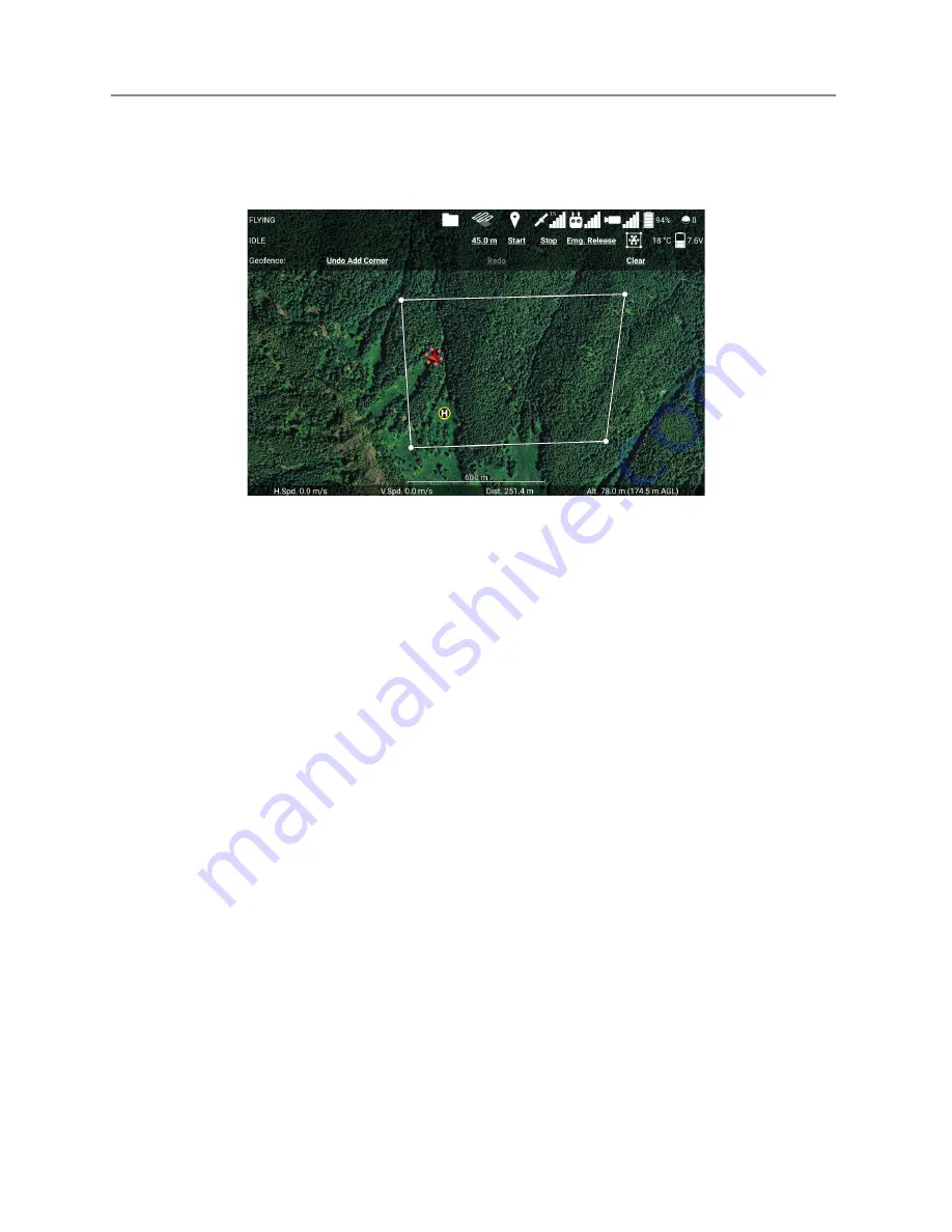
Figure 4.1.19 Creating a geofence for Ignis in the Ignis app.
Touch the ignition sphere icon in the top right corner of the flight screen to open the
Ignis controls , then touch the Geofence icon (the boxed drone icon) to open the Geofence
controls (see Figure 4.1.19). Touch the map to mark the corners of the burn area in a
clockwise or counterclockwise order. You can also undo, redo, or clear the geofence.
Once you’ve finished creating the geofence, touch the ignition sphere icon in the top
right corner to close the Ignis controls.
4.1.20 Arm Ignis
Arm Ignis
: ARMED
To arm Ignis on the M600, move S3 on the control bar to the upward position. On the
Alta X and IF 1200, press button C.
4.1.21 Set Drop Spacing
Set Drop Spacing:
CONFIGURED
This adjusts the distance between ignitions which impacts the intensity of the resulting
fire. To set the drop spacing, enter the Ignis menu by clicking on the ignition sphere in the
top right corner of the fly screen. Then select the drop spacing and move the slider to the
desired spacing.
Last Updated
Page 45
Apr 13, 2022


