Ignis Operations Manual
Drone Amplified
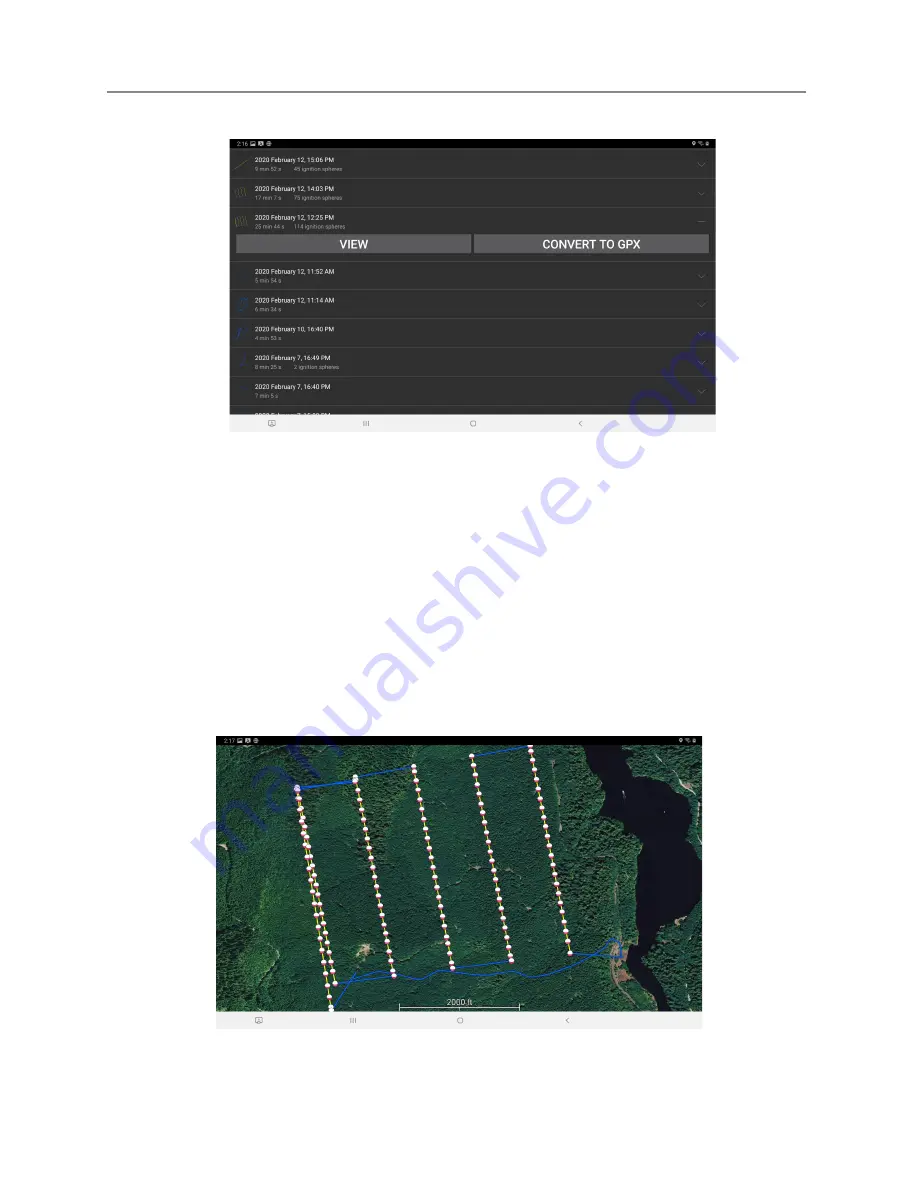
Figure 7.10a: Browsing flight logs.
Each flight log shows a small preview image of the flight path, the date and time the
drone took off, the duration of the flight, and how many ignition spheres were dropped. The
preview is color coded so that the yellow paths are the sections of the flight where Ignis was
dropping, and the blue paths are the parts where Ignis was not dropping. Touching the
flight log entry will expand it and give you the option to view it or convert it to a .gpx file.
The gpx file will contain a track for the flight path, and waypoints at each drop location.
Touching the “View” button will display the flight on the map, as shown in figure 7.10b.
Figure 7.10b: Viewing a flight log.
Last Updated
Page 99
Apr 13, 2022


