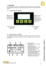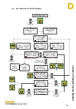
Leaders in Pipelin
e Survey Systems
C
C
C
-
-
-
S
S
S
C
C
C
A
A
A
N
N
N
2
2
2
0
0
0
1
1
1
0
0
0
SYSTEM MANUAL Version 6.03i
29
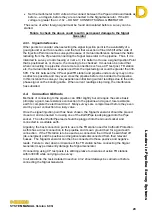
NOTE
: The circle equals to a 6ft 6” radius. If the pipeline is greater than 6ft 6” away then
the line will stay at the periphery of the circle. The number above the circle
indicates the horizontal distance in feet (3.9ft in this example). If the pipeline is
out of range no figure will be displayed. It is not possible to give accurate figures
when the Detector is not directly over the pipeline, so all numbers shown are
approximate (indicated by the
≈
symbol).
GPS:
The GPS status indication will show either:
ACQUIRING
: GPS data is blank, waiting for signal from satellites
BAD
: no satellites in view
GOOD
: satellites in view and acquired
GPX
: external GPS being used
ANT FAIL
: GPS antenna failure
NOTE
: More information about the GPS system can be found in section 12 below.
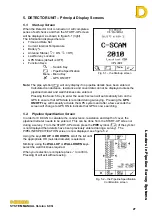
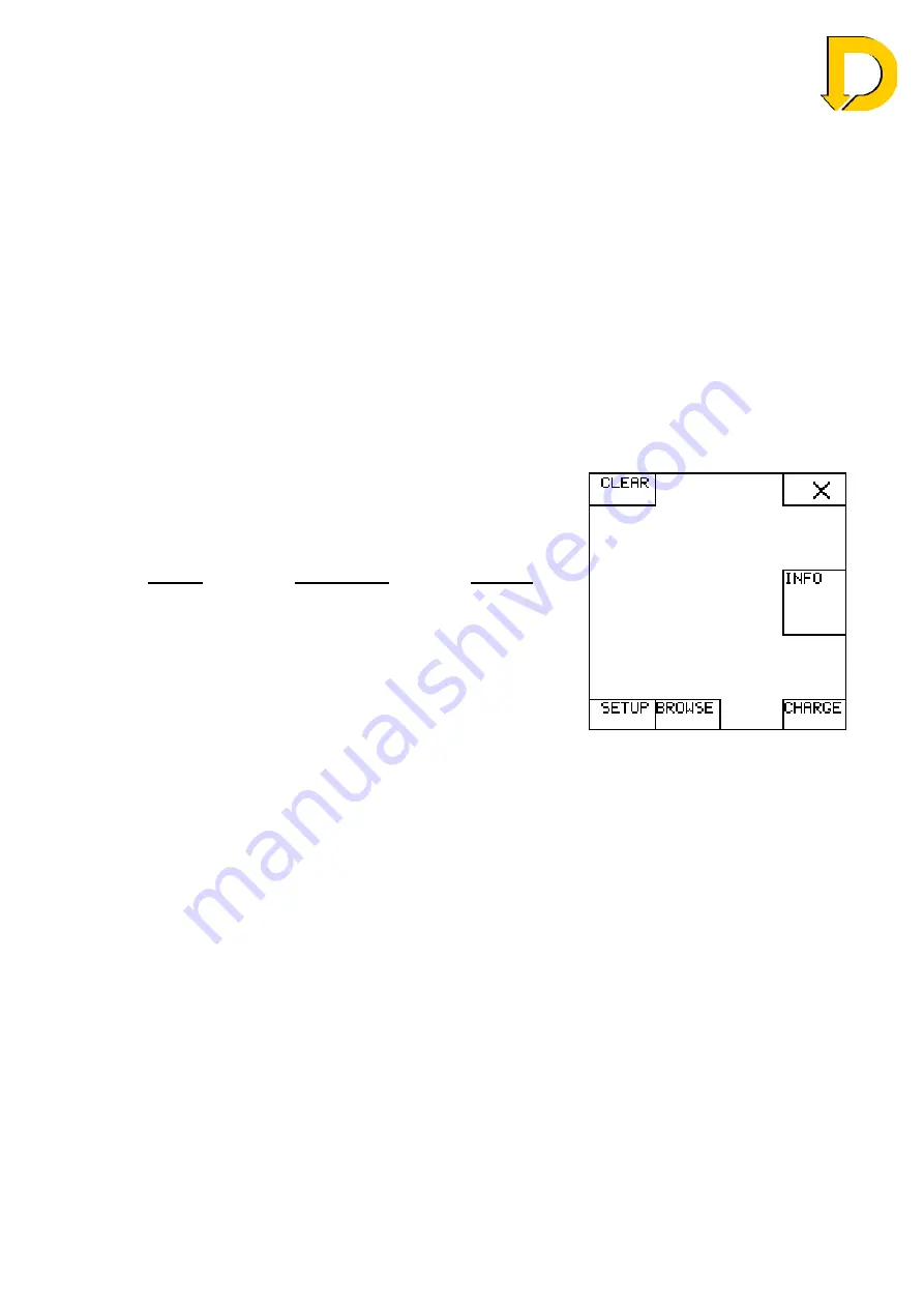
5.4. Menu Screen
Menu: Pressing the
MENU
button from the START-UP
screen accesses the Detector’s MENU screen. From
here the following options are available:
Option Description Section
•
Clear
Clear the survey data from
C-SCAN’s memory
•
³
Exit screen
-
•
Info
Info about C-SCAN such as
serial number, location etc
-
•
Charge
Enter Charge mode
•
Browse
Browse the data stored in C-
SCAN
•
Setup
Enter C-SCAN SETUP
screen
Fig. 5.6 – Menu screen

