Leaders in Pipelin
e Survey Systems
C
C
C
-
-
-
S
S
S
C
C
C
A
A
A
N
N
N
2
2
2
0
0
0
1
1
1
0
0
0
SYSTEM MANUAL Version 6.03i
69
Simply select the fields that you wish to export then click on either
EXPORT CSV
or
EXPORT TXT
and the data will be exported. You will be prompted to enter a file name
before the data is saved, with the file extension of either .CSV or .TXT automatically
added.
11.4. Advanced Functions
11.4.1. Tools Menu
Opening the TOOLS MENU (
) will allow you access to the following options:
Change DCAPP from displaying
Conductance in
μ
S/m
2
(
) to
Resistance in K
Ω
.m
2
(
)
Display Conductance or Resistance
as above, but per m rather than per
sqm
Change COM port settings for
downloading data
Fig 11.10 – Tools menu
When you select the
MAP
function (
) from the Start-up screen toolbar, DCAPP will
display the current survey data on any installed mapping software that uses KML files,
such as Google Earth. The mapping software must be installed and KML file
extensions must be associated with it. The survey must also contain GPS data. If
you wish to include other surveys that have been previously downloaded and saved
then
CREATE MAP OVERVIEW
can be used to add these surveys to view. When
you select
CREATE MAP OVERVIEW
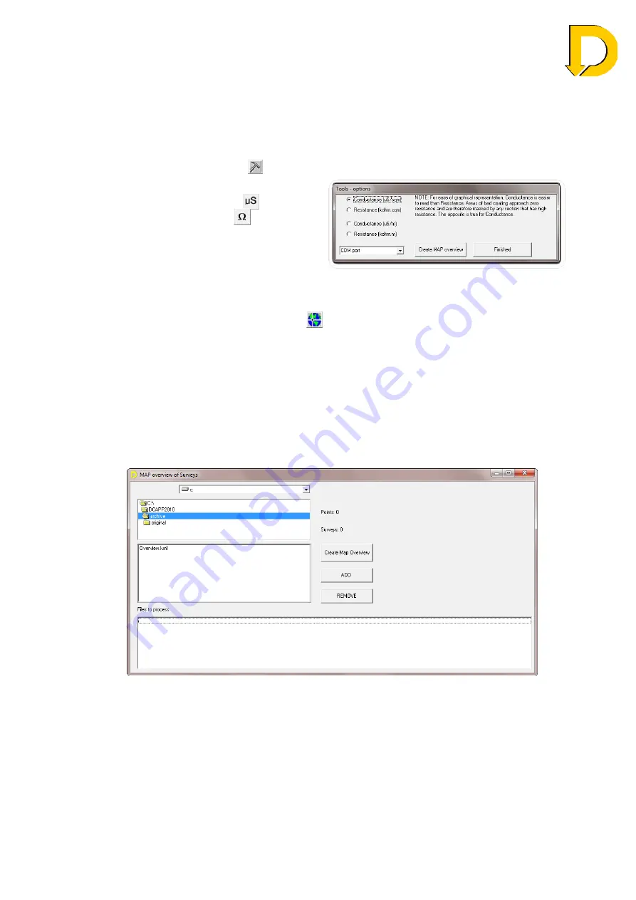
a new screen will open asking you to select
which surveys to add. Select the survey from the file list and click either
ADD
or
REMOVE
. This can be repeated with many surveys. Once ready, press
CREATE
MAP OVERVIEW
and the surveys will be shown on your mapping software. In
Google Earth, each survey will appear in the
Places
menu.
Fig 11.11 – Create map overview window

