SkyView
HDX System
General Maintenance Manual, Revision F
Page | 31
5.7
Wind Indicator
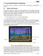
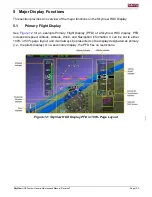
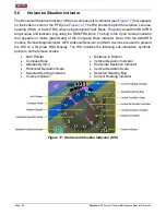
The wind indicator appears on the bottom left corner of the PFD (see
). Data provided
by the ADAHRS module, Remote Magnetometer, and GPS Antenna/Receiver are used to
present the Wind Indicator on a SkyView HDX display.
5.8
Navigation Source Indicator
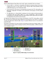
The selected (current) navigation source appears on the right side of the PDF, just below the
Altitude Indicator (see
). The pilot can toggle through configured NAV sources, such
as the internal VFR Navigator or third-party NAV devices, using the touch screen. In the
Navigation Source Indicator, data provided by radio is green and data provided by a GPS is
magenta.
5.9
Outside Air Temperature Indicator
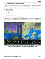
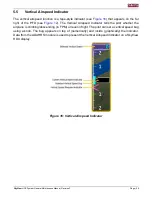
The Outside Air Temperature (OAT) indicator appears on the right side of the PFD, just below
the Vertical Speed Indicator (see
). Data from the ADAHRS module or Remote
Magnetometer (via the OAT sensor) are used to present the OAT Indicator and Density Altitude
(DA) on the Altitude Indicator on a SkyView HDX display.
5.10
Auxiliary Functions
5.10.1
Clock
Current time (configurable between UTC and local) is presented in Top Bar (Info Bar).
5.10.2
G
–Meter
The G
–Meter presents the pilot with vertical acceleration information. It can be configured to
display in place of the Compass Rose situationally (i.e., when a specified G value is reached) or
continually. Numerical heading information is still presented when the G
–Meter is displayed.
5.10.3
Traffic Indicators
A SkyView HDX display uses data from the ADS-B IN Receiver to present traffic indicators on
the PFD and Moving Map.
5.10.4
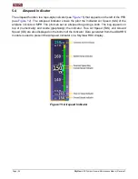
Angle of Attack
The SkyView HDX Display uses data from the ADAHRS module, which is connected to the AoA
Probe, to produce audible "beeps" as the airplane approaches a stall.

