SkyView SE
Pilot’s User Guide
- Revision B
4-9
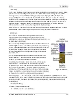
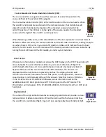
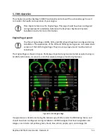
tick marks to the left and right of the minor tick marks represent a standard rate turn of 3
degrees per second.
The ground track GPS pointer is displayed as a magenta triangle on the inner edge of the
compass rose.
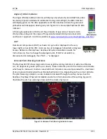
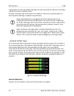
Heading/Track Bug
If your SkyView SE system includes an autopilot, the heading (HDG) bug is replaced by a track
(TRK) bug when the autopilot is flying in GPS ground track (TRK) mode. The bug is displayed in
cyan on the inner edge of the compass rose. The digital display of the bug is displayed to the
lower left of the compass rose.
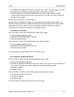
To set the heading/track bug:
1.
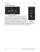
Enter the Joystick Function Menu.
2.
Move the joystick up or down to highlight (HDG) or (TRK).
3.
Click the joystick or move it left or right to close the menu (this is optional).
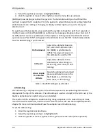
(HDG) or (TRK) will now display just above that joystick. The heading/track bug setting on the
PFD will be outlined to signal that it is selected. Turn the joystick to adjust the heading/track
bug. Note that while the heading/track bug is changing, its display window lights up in cyan to
draw your attention to it.
You can synchronize the heading/track bug to the current heading or track by pressing and
holding the joystick to the left or right for 2 seconds or middle (½ second click).
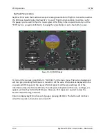
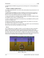
HSI
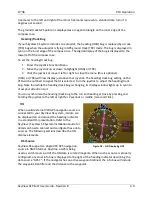
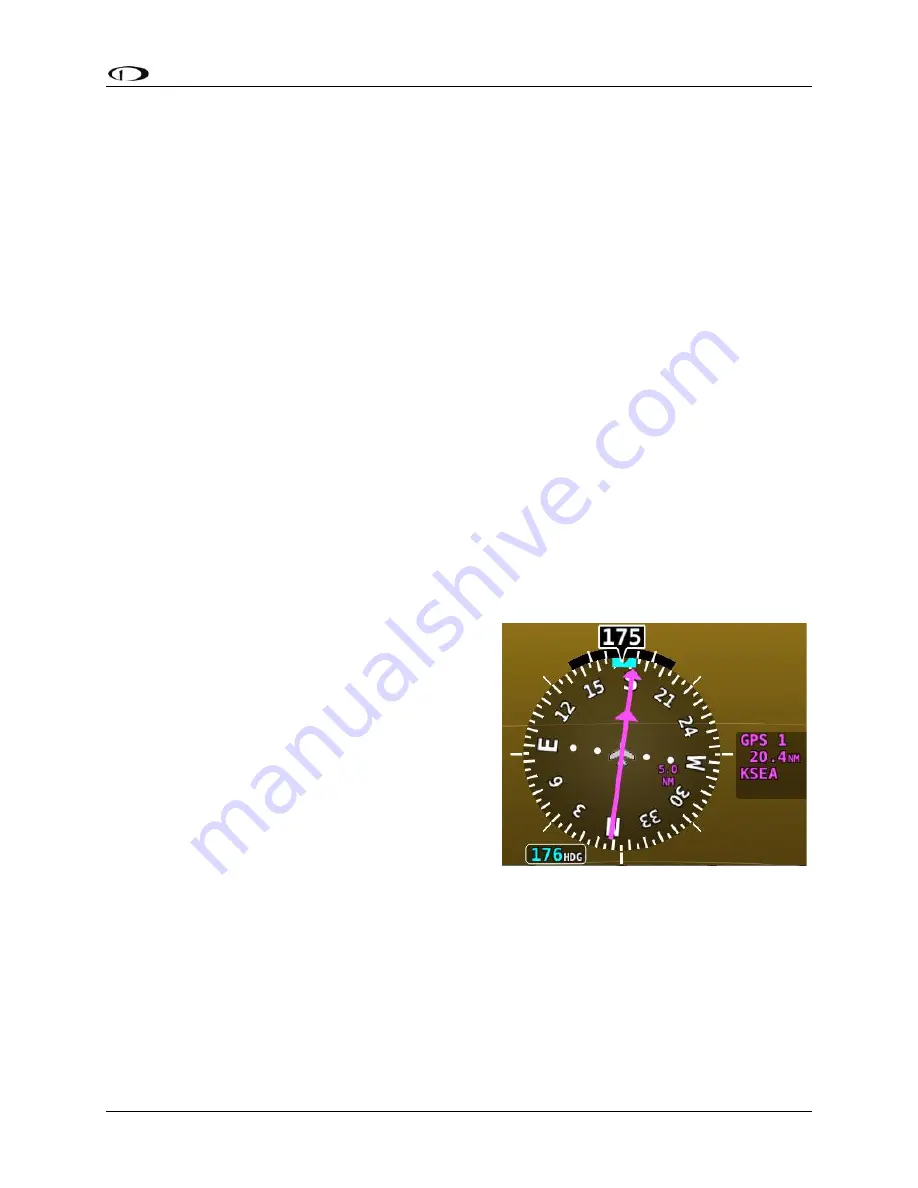
When a valid external VFR GPS navigation source is
connected to your SkyView SE system, its data can
be displayed on and around the heading indicator
in a standard HSI presentation. Refer to the
SkyView / SkyView SE System Installation Guide for
details on how to connect and configure these data
sources. The following sections describe the HSI
display elements.
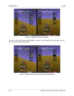
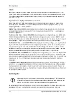
HSI Source
SkyView SE supports a single VFR GPS navigation
source in NMEA format. Anytime a GPS is being
used as an HSI source, all of the HSI data is colored magenta. When such as source is properly
configured, a textual info box is displayed to the right of the heading indicator describing the
data source
“GPS 1”
. If the navigator has an active waypoint defined, the info box will include
the waypoint identifier and the distance to the waypoint.
Figure 18
–
HSI Displaying GPS

