SV-MAP-270 Navigation Mapping Software
7-42
SkyView Pilot’s User Guide - Revision M
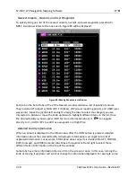
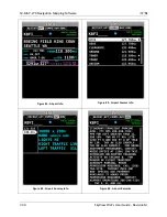
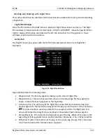
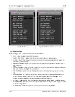
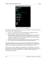
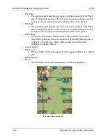
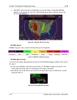
Figure 97 - Waypoint Tools in the Map Menu
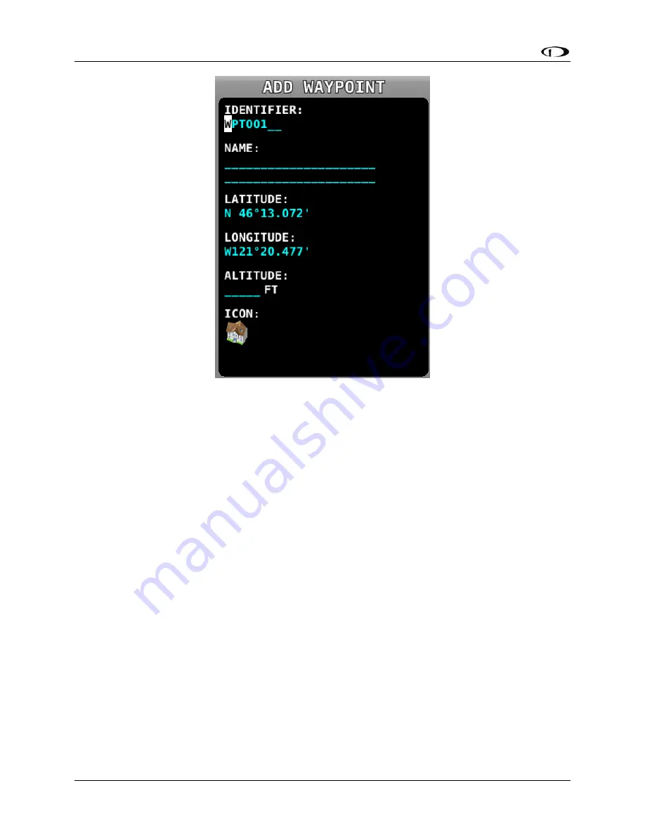
Move the CURSR joystick up and down to move the cursor between the various fields. Turn it to
select characters. The editable fields include:
Identifier – Like other airports and navaids, the identifier is displayed on the map.
Name – Longer description that is shown on the Info page.
Latitude/Longitude – Defaults to the current aircraft lat/long if the map is centered on
the aircraft, or the lat/long that the map pointer is pointing at if the map is in map
panning mode. However, this field can be changed with the cursor if you would like to
create a waypoint based on other coordinates.
Altitude – Not currently used for navigation purposes, but is shown on the Info page.
Icon – Choose from a variety of aviation style icons, pushpins, buildings, etc.
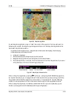
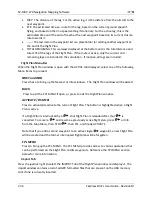
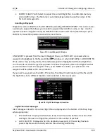
Press SAVE to save the waypoint. User waypoints will automatically be synchronized across
multiple SkyView displays in the aircraft provided they are connected via an optional Ethernet
connection. See the SkyView Installation Guide for more details about this connection.
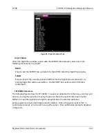
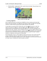
When you want to create a waypoint and immediately use it in a flight plan, you can use the
MAIN MENU > MAP > MENU > ADD POINT TO FPL command. It will first prompt you to create a
waypoint based on the current aircraft location or map pointer before it adds that newly-
created point to the flight plan.