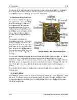
PFD Operation
4-20
SkyView Pilot’s User Guide - Revision M
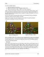
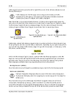
Synthetic Vision (SYNVIS)
Synthetic Vision depictions of terrain, runways, obstacles, and other information
are meant as informational aids only. These depictions should not be used as the
primary means for obtaining situational awareness of these features in flight.
Terrain data is obtained from third party sources. Dynon cannot independently
verify the accuracy of terrain data at all geographical points.
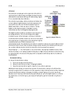
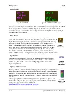
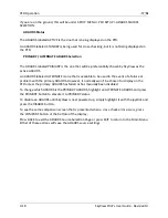
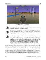
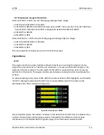
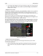
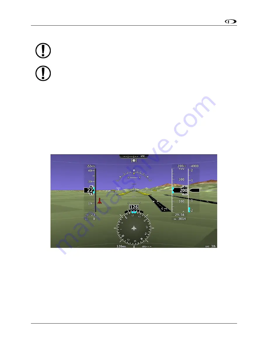
When valid GPS data is available and Synthetic Vision is licensed on a SkyView display, the PFD
features integrated Synthetic Vision. Synthetic Vision displays the terrain directly ahead of the
aircraft. Terrain is graphically represented in sectional chart color variations which represent
topographical elevations and water features. Terrain is textured with a subtle checkerboard
pattern to aid in identifying aircraft movement.
You may toggle the Synthetic Vision system off or on. Press PFD on the Main Menu and then
press SYNVIS.
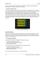
Figure 37 contains an example SkyView Synthetic Vision view.
Figure 37–SkyView Synthetic Vision View
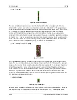
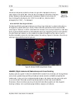
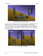
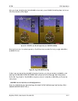
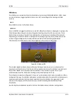
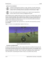
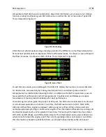
Runways on Synthetic Vision
Runways are depicted at airports for which runway information is available in the US only. See
the Moving Map Operation section for more information about aviation data availability. Note
that in many cases, the information in the Synthetic Vision depiction may not match the actual
physical markings seen in real life. In fact, in many cases, the Synthetic Vision depiction has
more information! The following information is shown on Synthetic Vision runways: