SV-MAP-270 Navigation Mapping Software
SkyView Classic Pilot’s User Guide –
Revision Z
7-43
Note that not all information is available for all facility types and that the depth of information
may differ from airport to airport. Typically, larger public airports have the most information
available. Small private airports may have very little or no information available.
*These items are not in Jeppesen databases.
Navigate to a Selected Waypoint with
(Direct-To)
To navigate to an airport, navaid, or other waypoint via a direct course from your present
position, press
in the Nearest, Info, or Map Pointer windows when the desired item is
highlighted. This instantly makes the selected item an active waypoint that SkyView is
navigating to, and automatically closes the Info or Nearest window.
Press
from the Map Page to bring up the Info window that allows you to search for a
waypoint by identifier, name, or city*. If navigation is already active, the current waypoint will
be shown. You may also select the RECENT tab of the Info window to find waypoints that have
been navigated to recently. After the desired waypoint is found, simply press
again to
navigate directly to it from your present position.
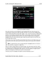
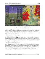
A magenta course line is created that starts from your current location and ends at the selected
waypoint. It is the shortest path between your current location and that waypoint. The PFD can
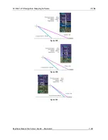
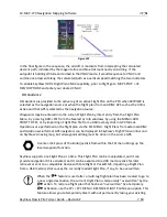
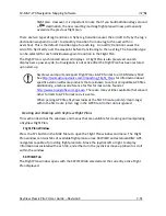
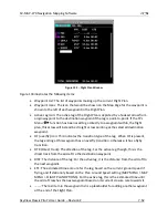
also display the course on the HSI. It is always SKYVIEW. A PFD, HSI, and map depiction of this
behavior is show in Figure 123.
Whenever navigation to a waypoint is active the MAP > FPL and MAP > FPL > NAVIGATE buttons
highlight to indicate that a Flight Plan is active. This is also depicted in the figure below.
*Search by city is not available when Jeppesen aviation databases are used.
If a waypoint is selected in any window that waypoints can be selected in, pressing
will immediately replace your current
destination with the selected
destination.

