SV-MAP-270 Navigation Mapping Software
SkyView Classic Pilot’s User Guide –
Revision Z
7-89
Due to limitations in the way that the FAA currently transmits TFR information via
ADS-B, many TFRs, including but not limited to such as VIP movement / Security /
Hazard / Presidential movement, cannot be depicted by SkyView. Therefore, pilots
should not rely on SkyView TFR depiction as an authoritative source of TFRs. Make
sure to use official briefing data sources for complete TFR information.
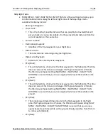
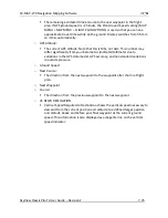
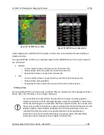
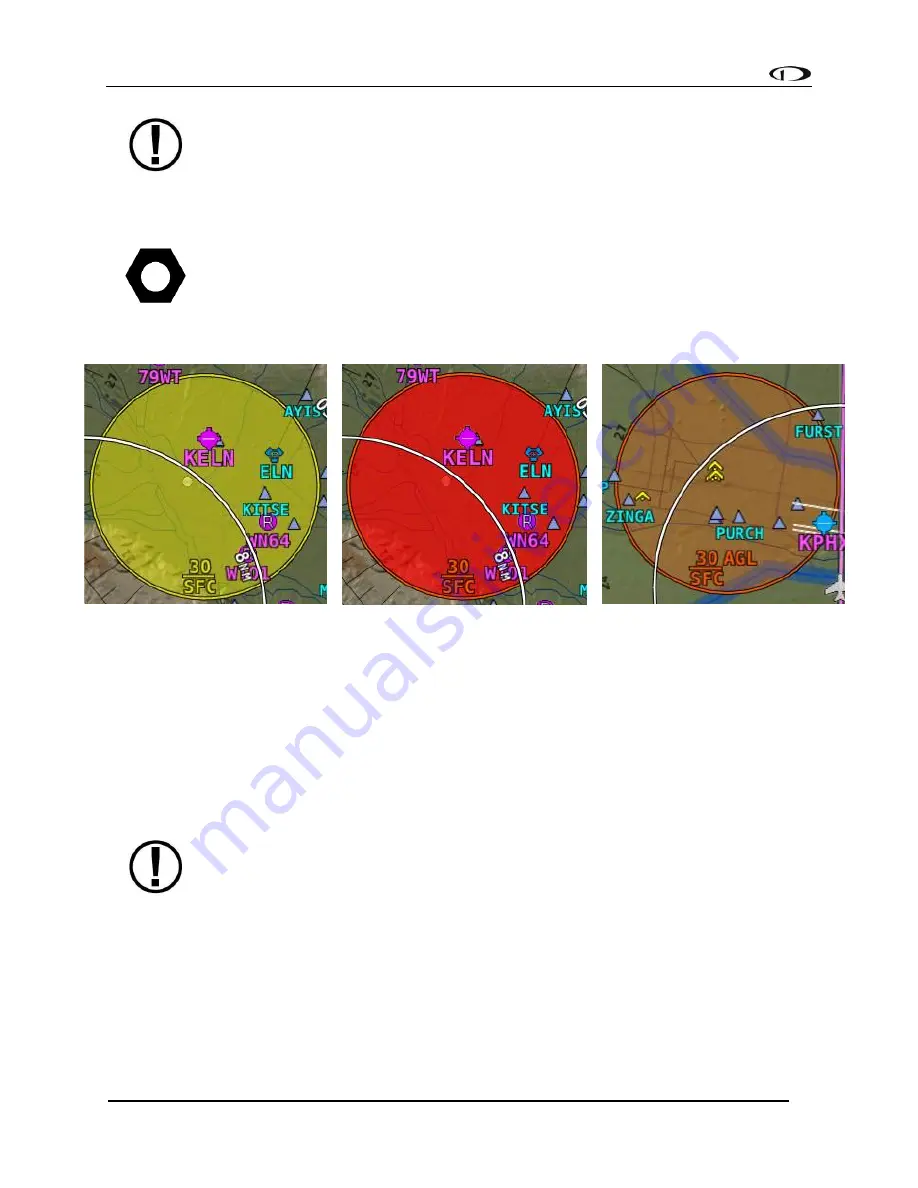
The level of opaqueness for TFRs can be adjusted under MAP MENU > MAP ITEMS >
TFR OPACITY.
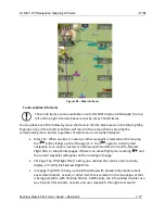
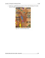
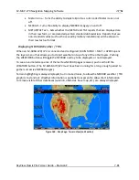
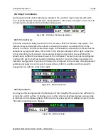
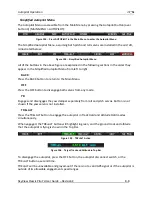
Figure 177 - Upcoming TFR
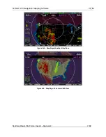
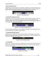
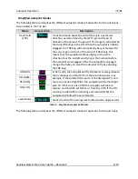
Figure 178 - Active TFR
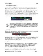
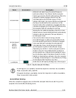
Figure 179 - Stadium TFR
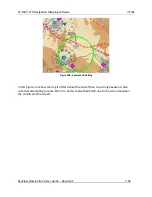
Glide Ring
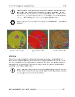
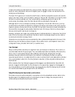
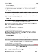
When the Sink Rate During Glide and the Best Glide parameters are set properly in SETUP,
SkyView displays a green glide ring on the map. This ring approximates the area on the ground
that can be reached using these parameters in addition to the current AGL
of the aircraft
and
calculated wind speed/direction. The maximum range at which the glide ring will be visible is
set in MAP > MAP MENU > MAP ITEMS.
The calculated area does not take in account changing winds, terrain that may be in
the way and the AGL within the ring. Use the ring as a guide of
possible
safe landing
zones taking into account of actual conditions.

