Summary of Contents for UltraNav II

Page 1: ...UltraNav II INSTALLATION ANDOPERATION INSTRUCTIONS LITHO IN U S A 988 0135 02 E GI Ek1 PDF compression OCR web optimization with CVISION s PdfCompressor...

Page 2: ...cs Allrightsreserved All featuresand specifications subjecttochangewithoutnotice All screens in this manual are simulated SONARSPECIFICATIONS UltraNav II Dimensions 5 875 H x7 75Wx3 875 D Input Voltag...

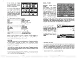
Page 3: ...Nav II inter prets this codeand displays a statusmessage Thismessage is either GPS MODULE PASSED or OPS MODULE FAILED andshows atthe bot tom ofthe screen Thecurrent software version number also BIT SU...

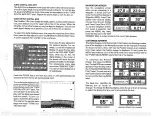
Page 4: ...ure to change the longitude Inthis example wehave entered 012 degreesnorthlattitude and 068 degrees eastlongitudeasthe PCFoffset Thatisthedifference betweenthepresentposition shownontheunitand ourposi...

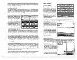
Page 5: ...CTION The UltraNav II is a high quality wide screen combination sonarand differntial ready OPSreceiver with performance thatissecondto none in itsclass Using menufeaturesand soft key operation theUltr...

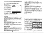
Page 6: ...avII doesn t savethe Man Overboard position in thewaypoint table However it does save theposition ontheMan Overboard screen TheUltraNavIIalwaysshowsnavigationdatatotheposition shownonthe Man Overboard...

Page 7: ...put Ifthe white and green wires are not used tape theirends sothat theycannotshort To connect a device totheUltraNav s NMEA output white wire attach atwo wire shielded cable fromthe other device s NME...

Page 8: ...off The UDRE isthe rangeerrorfromyourposition tothesatellite Ifthereis an OK inthisfield thentherangeerrortothatsatelliteis8metersorless 68 percentofthetime FormOreinformation read yourbeacon receiver...

Page 9: ...fthebea con receiver is receiving data fromthetransmitter andiscon nectedproperlytothe UltraNav II ascreen similar to the one shown at right appears Thispage shows thestation ID number its frequencyan...

Page 10: ...bleaccording tostandards setbytheNMEA NationalMarineElectronics Association This allows the UltraNav II to send position depth and navigation information to listener units suchaschartinginstruments au...

Page 11: ...nitialPosition Time Date Time Offset or Altitude without af fecting any other initialization setting Allofthesemenuswork identicallytothe onesdescribed in the initialization section at the beginning o...

Page 12: ...have to do is press the menu key to select the next menu ifyou evergetlostina menu simplypresstheCLEAR key ERASING A ROUTE To createaroute firstpress the MENU keywhiletheunitis inthe GPS mode Next pr...

Page 13: ...ing ofwaypoints number 1 2 and 3 and youwishto changewaypoint number 3to waypoint number 5 Simply presstheMENU key thenpress thekeynexttothe More label Next press the key nexttothe Route Planning labe...

Page 14: ...heyaretobe usedintheroute In otherwords suppose youwantaroutethatconsists ofwaypoint numbers 1 3 and 5 However you wishtotravelto 3 first then1 andfinally5 In thiscase youmustselect waypoint 3 1 and5i...

Page 15: ...abel Fi nally press the keynexttothe VIEWALLWINDOWS label The screen at right appears Thefirstwindow appears inthe upperrightcornerofthescreen A description of the screen shows inthe box atthebottomof...

Page 16: ...e GO TO WYAPOINT label TheUltraNavIIreturnsto thelastusedsonar navigation orplotterscreen showingnavi gationdatatothewaypoint you recalled ROUTES Aroutegivesyoutheabilitytonavigatetoseveralwaypointswi...

Page 17: ...nalso clutterthescreenwithmany undesired signals Typically the best sensitivity level shows a good solid bottom signal withGrayline and some surface clutter When theUltraNav II isintheAutomatic mode t...

Page 18: ...label Thescreen shown below appears Usingthe up and down arrow keys move the black box down to the latitude longitude CHANGE FIELD label atthe bottom right corner of the screen Usethe arrow keys to ch...

Page 19: ...acentto the 2X 4X labelenlarges ech oesfromtwotimestofourtimes theirnormal size To switch between the split screen zoom and full screen zoom press thekey adjacent tothe SPLIT FULL label The screen ins...

Page 20: ...adifferent GRAYLINE level also ThelevelchosenbytheUltraNav II atpoweron is cursor To dothis first press one of the arrow keys This makes theplottercursorlines appear on the display Now move the lines...

Page 21: ...in 0 jj N th 141 SELECT flN WON TO PLACE UN PLOTTER 3tflfljP _ S d _ 1_ IDELETE ICON BANK 1111 Using the Event MarkerwiththeCursor Normally whenyouselectanicon it splaced ontheplotteratyourpresent pos...

Page 22: ...ase thecontrast Press thekey adjacentto the FUTO a right arrow to increase it The FT percentage of contrastin use changes asthearrowkeysare pressed The bar chart also gives a graphical indication of t...

Page 23: ...ers andtimein 12houror24 hour format SONARALARMS The UltraNav II hasthreedifferent typesof sonar alarms The firstis the Fish Alarm It sounds whenthe Fish l D featuredeterminesan echoor groupofechoes i...

Page 24: ...e milewhenthe UltraNav II isturnedonforthe firsttime Theavailable plotter rangesare 1 2 5 1 2 5 10 20 50 and100miles Thislets you zoomin toseesmallvaria tions inyourcourse or zoom out to seeyourstarti...

Page 25: ...shallow alarm totenfeet thealarm will sound atone ifthebottomsig nal is less than ten feet It will continuetosound untilyoumute it or until the bottom goes deeperthan 10feet Thedeep alarm worksjustthe...

Page 26: ...hows at the bottom of the screen Thisisthedistancefrom one sidetotheotherand from the top to the bottom Your presentposition isshown atthe topofthescreen 22 0 I id E 1040 S 1111 Ifyourpresentposition...

Page 27: ...reen shown below appears Nowpressthe leftarrowkeyto decreasethe light level Press ADJUST BACK LIGHT LEVEL Bfl flMORE percentage of backlight in usechanges asthe arrowkeys are pressed The barchartalso...

Page 28: ...your Dis tanceToGo DTG Bearingto Waypoint BRG Local Time Speed Over Ground SOG Course Over Ground COG and Cross TrackError XTE To usethenavigation screen first recall a waypoint then press the MENU ke...

Page 29: ...deaofhowfaroffcourseyouare Forexample ifthearrow is halfway between thecourse line andthe outside leftline and theCDI rangeis0 5 miles thenyourcrosstrackerroristothe left0 25miles The CDIrangeis the s...

Page 30: ...of asatellite is 180 degrees then it isdue south SNRisthesignal to noise ratio Thistellsyouhowstrongthesatellite ssignal is Thehigherthe SNR number the better Thesatellitesthatare visibleintheskyfromy...

Page 31: ...topofthedisplay Thechannelsarenumbered one through five on the leftside of the screen Every satellite in theconstellationhasanumber ______ assignedto it calledthe PRN ____ ThePRN isthefirstnumber in t...

Page 32: ...the numberkeysto enter the time Press the up arrow key to change the time from AM to PM or thedown arrow keytochange fromPMtoAM Pressthekey nexttothe AC CEPT labelwhen you refin ished LATITUDE N 36 O8...

Page 33: ...henumbers 35 thenpress theup arrow keyto change itto 35 feet Pressthekeynexttothe ACCEPT labelwhenyou re done CHANGETIME Tochange thelocaltime the timeatyourposition press thekey nextto the CHANGE TIM...

Page 34: ...r On Inorderforthe UltraNavIItolockontothesatellites it mustfirstfindthem Ifyousimplytum theunitonandwait theunitwillfindthesatellitesbyitself in15minutesorless Thisiscalled ColdStart Ifyouletitfindth...

Page 35: ...d otherunauthorized peoplefromusingthe more precise systemis coding In otherwords the data coming fromThe satellites is encrypted Civilian OPS receiversuse C ACode It saccuracyisintentionallyworse tha...

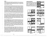
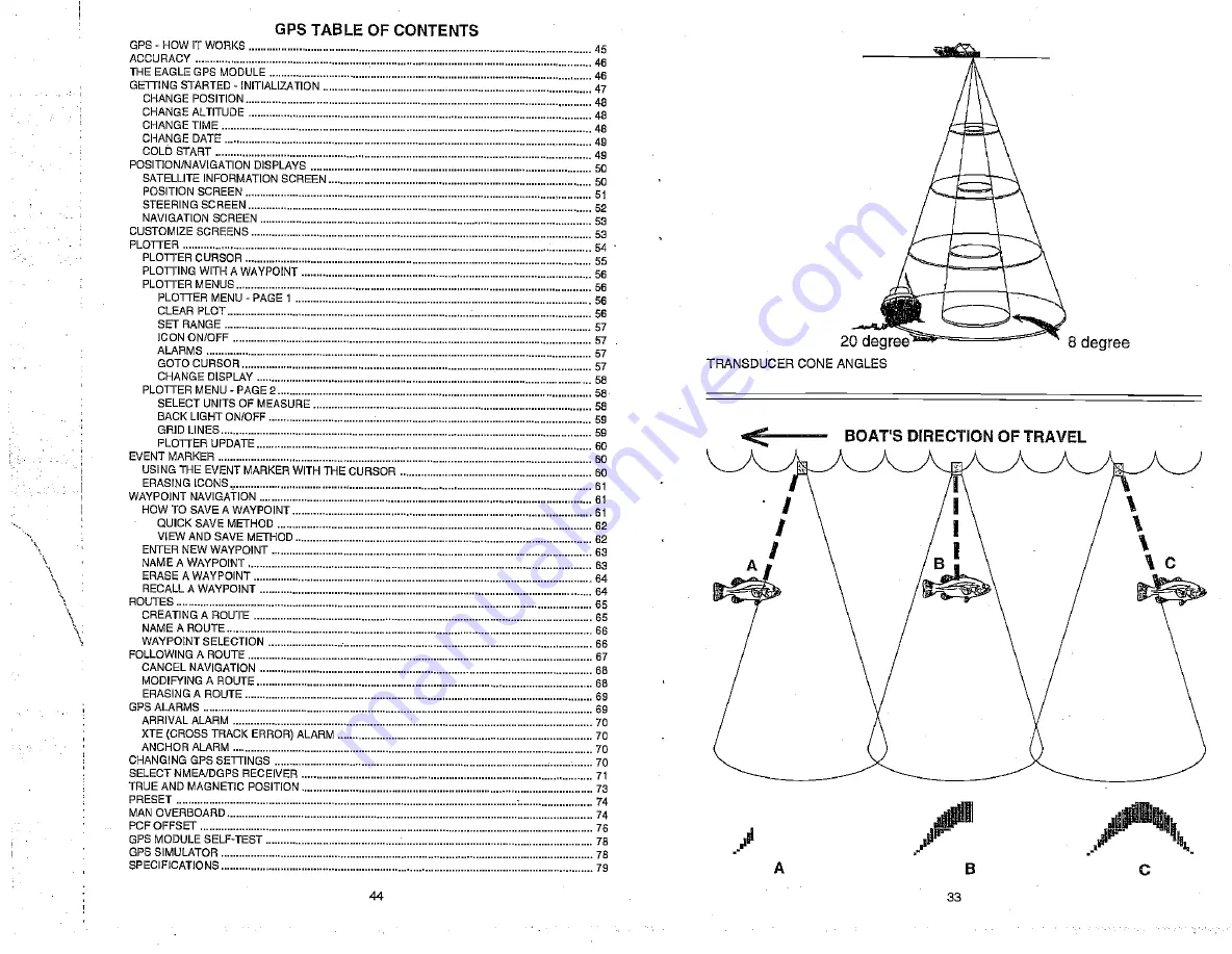
Page 36: ...hallowwater thesignal displayed onthe UltraNav IImaynotarch atall Thisisduetothenarrowconediameterand the resolution limitations ofthedisplay FISHARCHES Fisharches arecreatedwhentheconeofsound passeso...

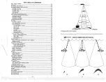
Page 37: ...FF 59 GRIDLINES PLOTTERUPDATE 6D MARKER 60 USINGTHEEVENT MARKER WITH ThECURSOR 60 ERASING ICONS 61 WAYPOINT NAVIGATION 61 HOWTOSAVEAWAYPOINT 61 QUICKSAVE METHOD 62 VIEWANDSAVEMETHOD 62 ENTER NEWWAYPOI...

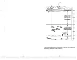
Page 38: ...herfish eventually die outwhen stockedinlakesthatremaintoocold duringthesummer Whilesomefish haveawidertemperature tolerance than others eachhasacertain range withinwhichittriestostay Schoolingfish su...

Page 39: ...ll probably haveto beturnedup to seeit 42 35 830 780 SURFACE LAYER ABSORBS HEAT FROM THESUN 770 EPILIPQ1NION 760 e 750 THERMOCUNE MOSTPRODUCTIVE ZONEFORFISHING VARIES INDEPTH DUETOWIND CURRENTS 560 50...

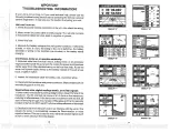
Page 40: ...r ignition switch 2 Inspectthetransducercablef breaks cuts or pinched wires 3 Checkboththetransducerand powerconnectors Makecertain both are securelyplugged intotheunit Weak bottomecho digitalreadings...

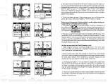
Page 41: ...andtransducer cables awayfromother electrical wiringon the boat Nofish arches when theFishID feature isoff 1 Make certain transducer is pointing straight down This is the most common problemifapartial...

Page 42: ...equipment then make certaineverythingexceptthesonarunitisturnedoff then staritheengine Increase the RPM withthe gearshift inneutral Ifnoiseappears on the display theproblem couldbeoneofthreethings spa...

Reviews: