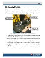
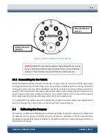
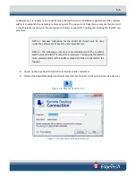


5-12
2000-DSS COMBINED SONAR
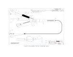
0009335_REV_D
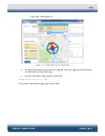
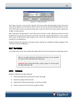
Figure 5-15
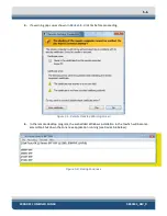
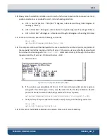
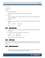
16.
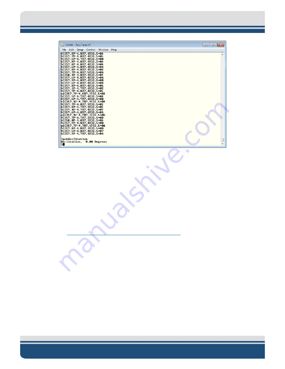
Enter the set declination command to get help for command:
setDeclination <CR>
Help for command:
setDeclination, [D]
[D]: Declination angle (degrees), which is the correction between magnetic north and true
north. This value depends on geographic location.
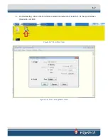
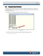
Declination for your location can be found by going to the following website:
http://www.ngdc.noaa.gov/geomag-web/#declination
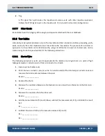
Here is an example of how using this website can help you to determine your angle of
deviation:
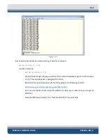
Zipcode 02360 was inserted, then "Get & Add Lat/Lon" was selected:
Summary of Contents for 2000-DSS
Page 20: ......
Page 56: ...Figure 4 2 2000 Digital Telemetry Link Electronics Block Diagram...
Page 57: ...Figure 4 3 2000 Digital Telemetry Link Wiring Diagram...
Page 59: ...Figure 4 4 Tow Vehicle Electronic Block Diagram...
Page 60: ...Figure 4 5 Tow Vehicle Interconnect Drawing...
Page 63: ...Figure 4 6 Armored Cable PMI Grip Unterminated Topside...
Page 64: ...Figure 4 7 Test Cable...
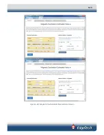
Page 77: ...5 13 Figure 5 16 Magnetic Declination Estimated Value Screen...
Page 79: ...5 15 getDeclination CR Figure 5 18...
Page 80: ......
Page 94: ......
Page 96: ......
Page 98: ......


