55
MAP INFORMATION
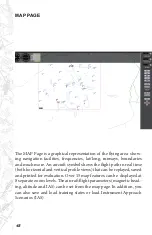
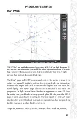
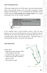
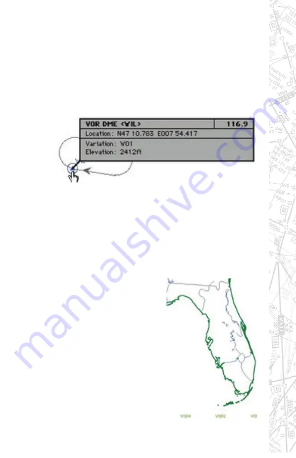
All elements displayed on the MAP page contain information appli-
cable to that specific element such as variation, frequency, runway
length, width, lighting, etc. To access information regarding a specif-
ic MAP element,
click and hold on it with the mouse
. For runway
information, click on the runway’s threshold.
In the example above, several facilities nearly occupy the same
location or are co-located. Information on these facilities is layered.
Clicking the same spot repeatedly cycles through these layers to re-
veal information about each specific facility. The MAP Page is a
virtual facility directory. Just point, click and hold!
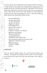
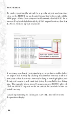
MAP BORDERS
Border types:
• Flight Information Region (FIR)
borders appear in brown.
• Country borders appear in green.
• Waterways and lake boundaries
appear in blue.
• States appear in gray.
Summary of Contents for iGATE G500 Series
Page 20: ...20 iGATE with 3 screen projection display iGATE with Curved Screen Projection ...
Page 21: ...21 Desktop iGATE Twin Engine w G1000 Avionics Cockpit iGATE Twin Engine w HSI and RMI ...
Page 78: ...78 ...
Page 130: ...130 ...
Page 135: ...135 ADDING FACILITIES ...
Page 136: ...136 ...
Page 137: ...137 ...
Page 148: ...148 ...
Page 152: ...152 Abbreviate Operation of the EFS Control Panel ...
Page 154: ...154 EFS Symbol Definition ...
Page 155: ...155 EADI Symbology Definition ...

