Hovermap-Zoe user manual
Release date: 01 Nov 2021
Revision: 1.0
51
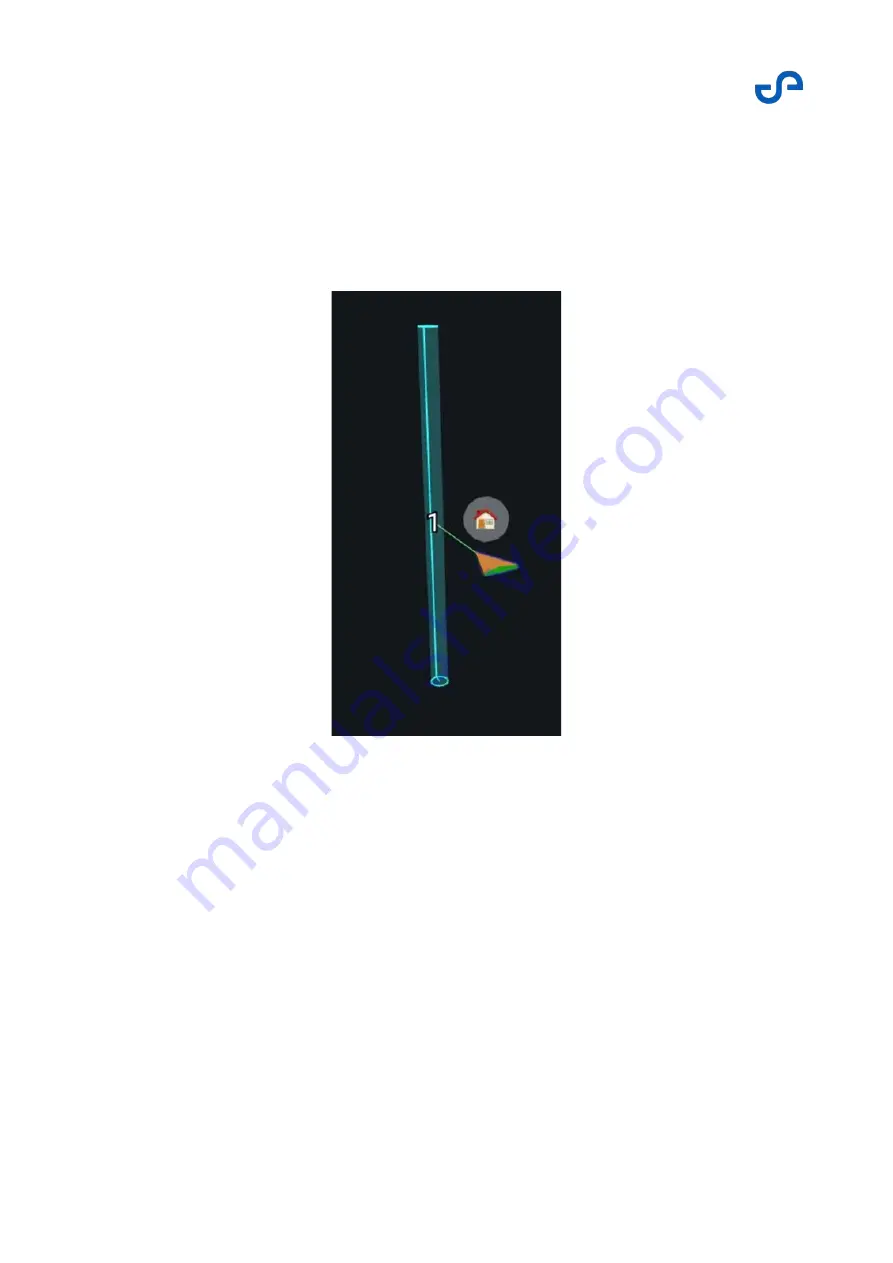
XY waypoints
An XY waypoint is a waypoint that is placed on an XY coordinate, without regard to altitude. Hovermap
will navigate the drone to the XY coordinate location in a straight line, maintaining the same height. An
XY waypoint appears as a vertical line in the Waypoint UI. When the area is relatively well known and a
specific altitude is not required, XY waypoints are the simplest and fastest way to conduct a waypoint
mission. XY waypoints are best placed using the top view in the View Controller.
Figure 30
XY waypoint
Planar waypoints
A planar waypoint is a two-dimensional vertical surface placed in the Waypoint UI. Hovermap will
attempt to navigate the drone via the easiest path to any point on that plane. Planar waypoints are
good to use when you want to explore in a generally horizontal direction towards an unexplored or
inaccessible area. Once a point cloud is created, a more specific waypoint can be added to the mission,
or an additional planar waypoint can be placed further away to allow more exploration. Planar
waypoints are best placed using the top view in the View Controller.
Summary of Contents for HOVERMAP-ZOE
Page 15: ...Hovermap Zoe user manual Release date 01 Nov 2021 Revision 1 0 2 Figure 2 Zoe left view ...
Page 19: ...Hovermap Zoe user manual Release date 01 Nov 2021 Revision 1 0 6 1 4 Specifications ...
Page 34: ...Hovermap Zoe user manual Release date 01 Nov 2021 Revision 1 0 21 Figure 9 Telemetry screen ...
Page 109: ...Hovermap Zoe user manual Release date 01 Nov 2021 Revision 1 0 96 ...


