68
Spatial Comparison
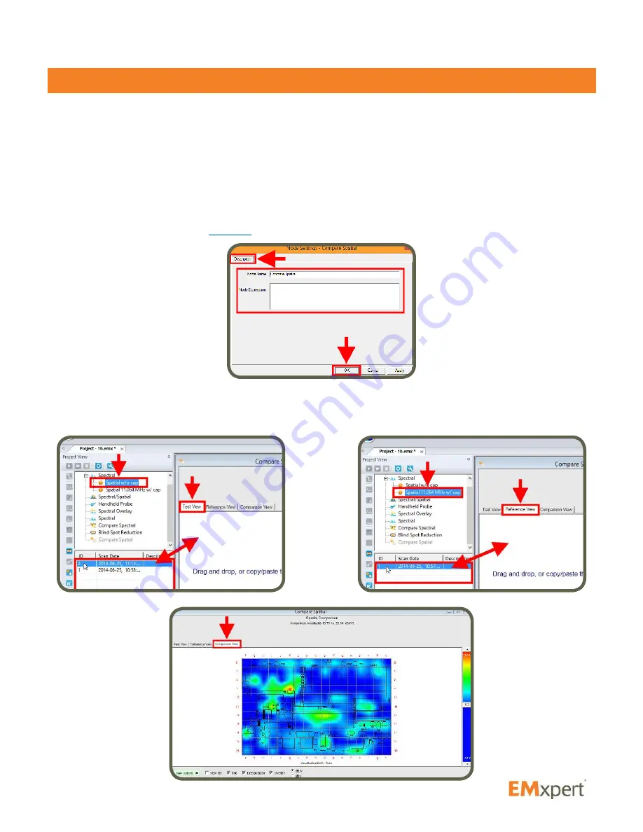
Spatial Comparison is a quantitative comparison between two Spatial Scans that is generated by
subtracting the values of the first scan (Test View) from the values of the second scan (Reference View)
cell by cell. The Spatial Comparison node allows you to see the difference between two Spatial Scans
at the same frequency.
You can use this feature to for example, find the failure point position in a production circuit board after a
spectral difference has pinpointed a frequency that is significantly different between the two PCBs. This
is useful for repairing faulty boards or pinpointing manufacturing process problems
Two Spatial Scans that will compared must have overlapping cells. Add Spatial Comparison node to
Project node (please refer to
page 31
). Node settings window automatically opens. After you click OK,
Compare Spatial window opens.
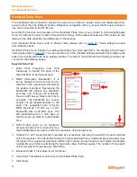
Select the data from the datalist of the Spatial Scan that you want to subtract from and click & drag &
drop it on to Test View. Repeat these steps for the second data and drop it on to Reference View. Click
Compare Spectral View tab and mouse over the graph to analyze the difference.
EMxpert Software
Spatial Comparison


