and the system key tones.
Tap on
Ok
to save the settings.
Note
: The advanced volume settings are always dependent on the system volume. A change
to the system volume therefore also always results in an adjustment to the volume in the
individual functions of your Falk Navigator.
6.3.5 Calibrate
compass
To guarantee precise orientation of the compass, you should recalibrate the compass at
regular intervals. To do this, tap on "Calibrate compass" and follow the instructions on the
device.
Note
: You should only ever calibrate the compass outdoors. Make sure when calibrating it
that no metallic objects are located in the vicinity of the device and that no magnetic or
electro-magnetic sources of disturbance (e.g. high-voltage power lines, antennae) are
present.
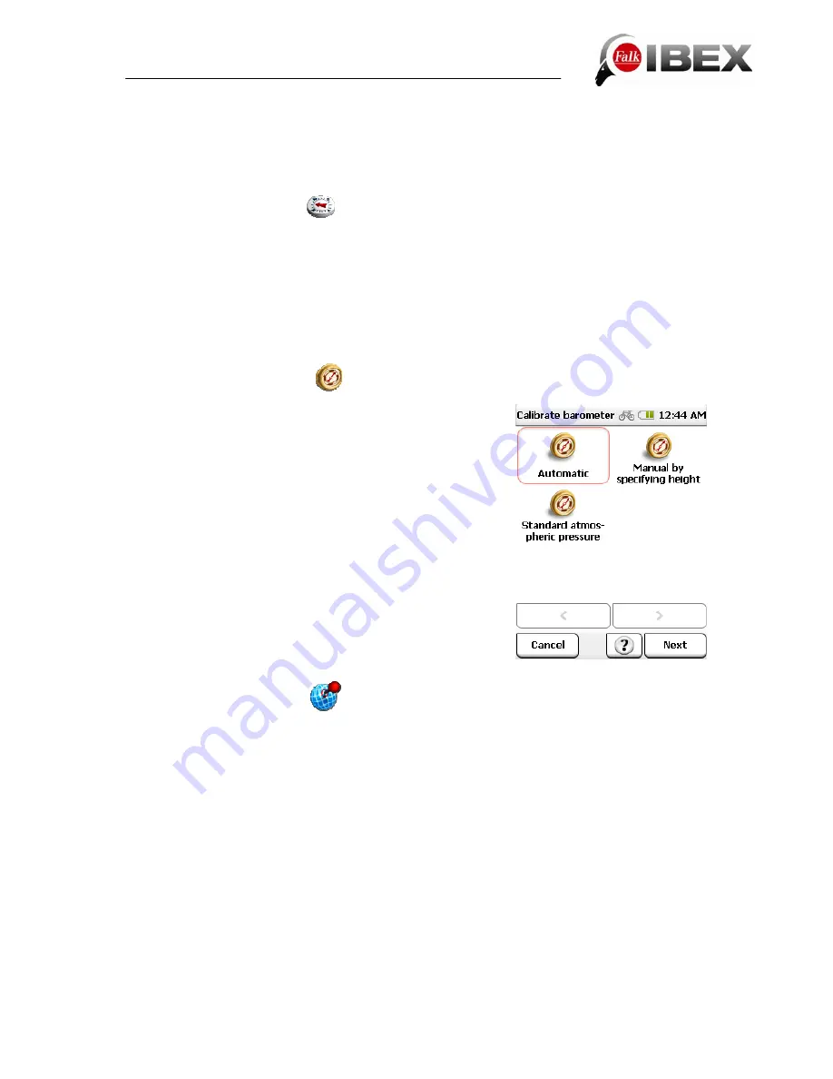
6.3.6 Calibrate
barometer
To optimise the accuracy of the height measurement, you
should calibrate the barometer at regular intervals.
You can calibrate the barometer in three ways:
Automatic
- the barometer is then calibrated completely
automatically. (However, to obtain more accurate results it is
recommended that you calibrate it manually.)
Manual by specifying height
- if you know the height of
your current position, enter this and place the device down
to rest on a flat surface for a short time.
To standard atmospheric pressure
- then the standard
atmospheric pressure at sea level is used to determine the
height.
Note
: The barometer should be calibrated after each
change of battery. In changeable weather and where there
are large differences in height, it is recommended that you
calibrate the barometer several times a day.
6.3.7 Set position format
There are different formats for specifying coordinates. To support the entry of the most
common formats, here you can select the format you want.
The following formats are available to you:
dd.ddddd°
(decimal
degrees)
dd°mm.mmmm`
(decimal degrees and minutes)
dd°mm`ss.ss"
(decimal degrees, minutes, seconds)
Gauß-Krüger
(easting, northing)
Swiss grid
(longitude, latitude)
UTM
(zone, easting, northing)
This setting is then used in the entire system.
Note:
UTM and Gauß-Krüger are formats from printed maps. You can read the coordinates
off such maps and enter them in the device.
Falk IBEX User Manual
33
Summary of Contents for IBEX
Page 1: ...User Manual ...


