12.2 Public transport connection planner (optional)
The public transport connection planner allows you to plan a connection using public
transport.
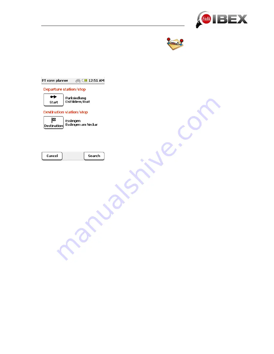
Tap in the menu on
Extras >
Public Transport Connection Planner
.
If you then tap on
Start
, you can select a station/stop using
various search criteria, e.g. "Around location".
You will then be shown a list of possible stations/stops
sorted around your current location.
Further search criteria are: "In city", "Around address",
"Around home", "Around position on map", "At POI" and
"Around current destination".
In a next step, you can select a station/stop and tap on
Ok
.
Select a destination station/stop in the same way and then
once again tap on
Ok
.
The connection between the two chosen stations/stops is
shown.
All of the information relating to the connection is shown on the connection overview.
As well as the departure and destination station/stop, the changeover stations/stops are also
shown, as well as the number of stations/stops for the sections that are passed, and the
length of the journey in each case.
At the bottom under "Overall connection" you will see the total number of changes and the
total duration of the connection.
You can view the entire connection on the map using the
Map
button.
If you tap on
Calculate
, you can "navigate to the departure station/stop" or, if you are already
there, "get onto the bus & train".
Note
: If you want to integrate a public transport connection into a navigation from a starting
point to a destination point, instead of just calculating a connection between two
stations/stops, you can do this on the destination entry screen once the route has been
calculated (see Chap. 3.13.2).
Falk IBEX User Manual
53
Summary of Contents for IBEX
Page 1: ...User Manual ...


