Charts
55
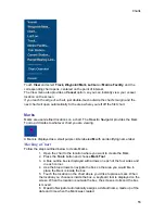
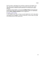
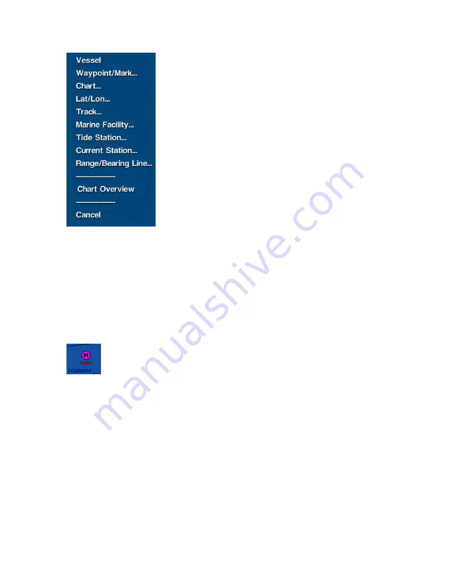
Touch
View
and select
Track, Waypoint/Mark
,
Lat/Lon
or
Marine Facility
, and the
corresponding chart opens, centered on the point of interest.
The View menu also provides a
Vessel
option, so you can instantly view your vessel
location on the screen.
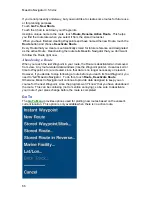
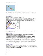
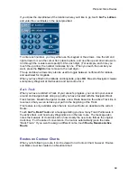
If you reach the edge of a chart, just double-touch outside the chart’s margin and the
next chart will open automatically to the area where you left off the first chart.
Marks
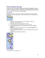
Marks are user-defined locations on a chart. The Maestro Navigator provides the Mark
Tool to add marks to whatever chart you are viewing.
A Mark is displayed as a small purple circle labeled
M
with an identifying name label.
Marking a Chart
Follow the steps outlined below to create Marks.
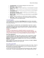
1. Open the chart to the location where you want to create the Mark.
2. Press the
Tools
button and choose
Mark Tool
3. A blue outline box is displayed with arrows on each of the four sides and
in each corner.
4. Use the blue arrows to navigate the box so the area you would like to
place the Mark is inside the box.
5. Touch the location on the chart where you’d like to place a mark. When
the location you choose is inside the box, a keyboard tool is displayed on the
screen. When the location is outside the box, the screen scrolls and the box
is moved.
6. Maestro Navigator automatically assigns a default name, made up of the
date and time when the Mark was created.
Summary of Contents for Maestro
Page 1: ...User s Manual TM IS0270 rev A ecr 8171 3 2010 ...
Page 2: ......
Page 8: ......
Page 50: ......
Page 68: ......
Page 86: ...Maestro Navigator 3 5 3 doc 82 ...
Page 90: ......
Page 94: ...Maestro Navigator 3 5 3 doc 90 ...
Page 122: ......
Page 140: ......
Page 142: ......


