Field of View GeoSnap Basic Manual 21
5.
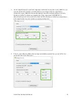
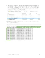
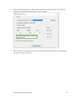
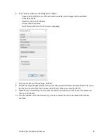
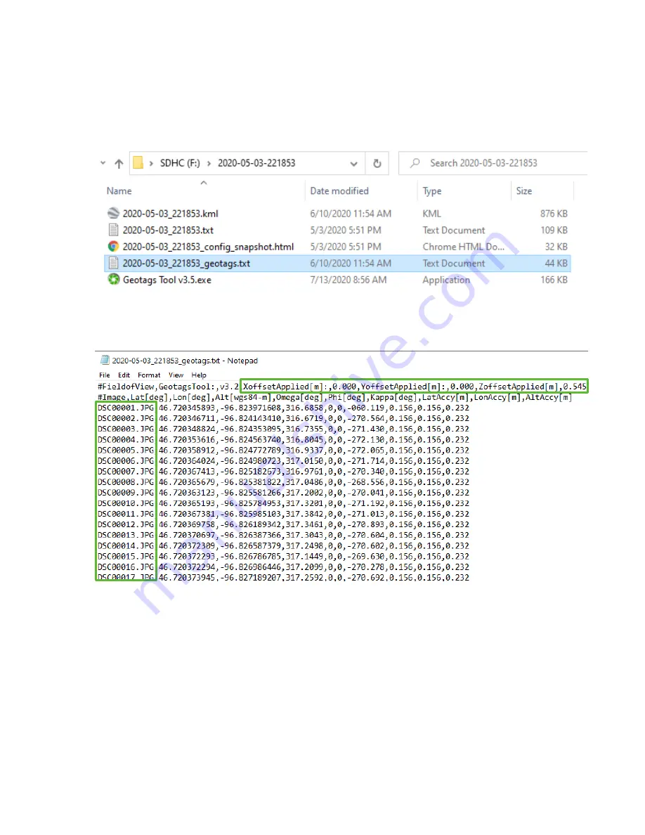
Once you have input all the correct information, click on the Start Processing button. A geotags file and
Google Earth KML file will be created in the folder you events file was located. The geotags file is a pared-
down version of the events file that re-labels each event with the image name it was associated with and
it has the X,Y, and Z offsets applied*. The geotags file can be directly imported into photogrammetry
software such as Pix4Dmapper and Agisoft Metashape Pro.
*The Z offset value is subtracted from the altitude value, and root-sum-square of the X and Y offsets is simply
added to the LatAccy and LonAccy values.


