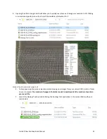
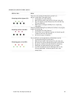
Field of View GeoSnap Basic Manual 22
6.
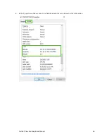
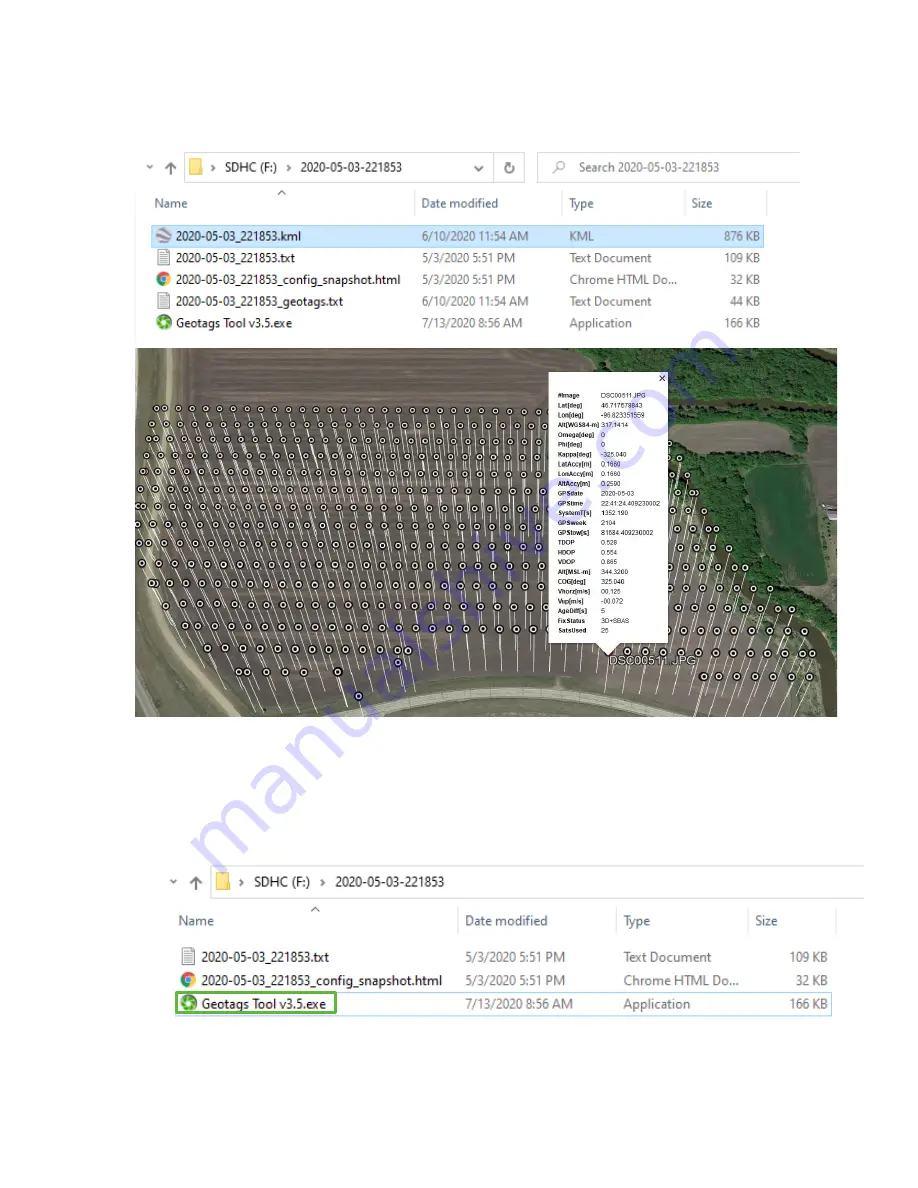
Opening the KML in Google Earth will allow you to quickly see where each image was captured in 3D. Clicking
on an individual geotag icon will pull up all the available information for it.
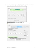
Embed Coordinates Into Image Exif
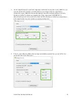
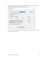
1.
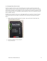
To help speed-
up the process, we recommend moving your images from your camera’s SD card to
a folder
on your computer.
The number of images in the folder needs to exactly match the number of events in
your event file.
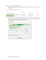
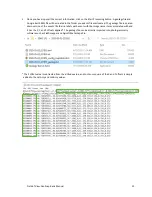
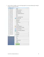
2.
Launch the Geotags Tool by double clicking the Geotags Tool application in the session folder with your
mission data.