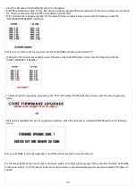
optional probes, the available graphs are in the order:
-
ECLIPSE EIS
: CHT / EGT / OIL PRESSURE / OIL TEMP. / CAT / OAT / VOLTAGE / CURRENT / MAP / RPM /
FUEL PRESSURE / FUEL FLOW.
-
ECLIPSE PFD
: PITCH / ROLL / G-METER / SLIP INDICATOR / ALTITUDE / ALTITUDE FROM GPS / VARIOMETER /
BAROMETER / AIRSPEED / GPS SPEED / WIND SPEED / QNH SET / FUEL FROM FUEL LEVEL SENSORS / REMAINING FUEL
CALCULATED BY THE FUEL COMPUTER / BURNED FUEL CALCULATED BY THE FUEL COMPUTER / SERVO POSITION (if installed).
-
ECLIPSE IFIS
: All the previous measures of both EIS and PFD.
DOWNLOAD RECORDINGS ON A SD CARD
The save to SD function allow to use the recorded data in a personal computer, for analysis and visualization in a spreadsheet
software (eg Excel) or to view flights in Google Earth software. The save to SD function make two files with same name and
different extensions: the .CSV file contains all data formatted for spreadsheet software (ie Excel) while the .KML file is for viewing
the flight on Google Earth software.
Detail on file created on the SD card:
- FLYDLxxx.KML (xxx=ID number of the flight): this file require “Google Earth” free software installed on your PC;
simply
double click on the KML file to view the recorded flight.
- FLYDLxxx.CSV (xxx=ID number of the flight): generic “comma-separated value” file format, importable by any
spreadsheet
software like Excel. Inside this CSV there are all the parameters recorded by ECLIPSE, that is all engine
data for
ECLIPSE EIS, all flight data for ECLIPSE PFD and both engine and flight data for ECLIPSE IFIS.
For example if you save to SD the flight #5 (ID=005) the filenames created are '
FLYDL005.CSV'
and '
FLYDL005.KML'
.
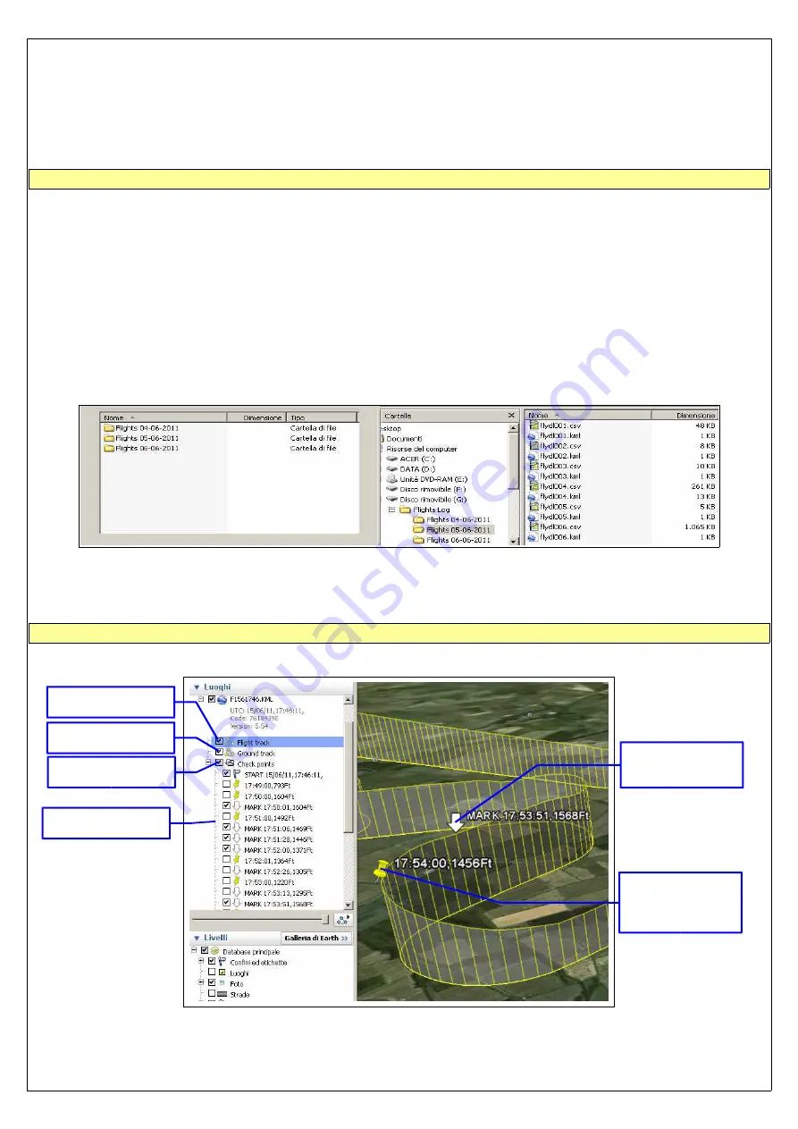
If you plan to keep archived all flights logs it's recommended to organize them in subfolders, for example creating a new folder
every time you download the flights to the SD:
NOTE: When saving to SD use only memory card with storage capacity not exceeding 2 Gb.
VIEWING .KML FILES WITH GOOGLE EARTH
If you have already installed Google Earth software simply double click on any KML files to view it. In the following picture are
indicated the basic functions, for the full explanation refer to the software help:
NOTE: Google Earth is a free software that may be updated and changed at any time by Google
49
Enable/disable the
flight track
Enable/disable
ground track
Enable/disable all
checkpoints
Enable/disable
single checkpoint
Checkpoint
(automatically
created every
minute of flight)
Mark (created by
the pilot during
flight)
Summary of Contents for Eclipse
Page 6: ...ECLIPSE PART I INSTALLATION 6 ...
Page 7: ...2 Dimensions 7 ...

