5. VIDEO PLOTTER OPERATION
5-9
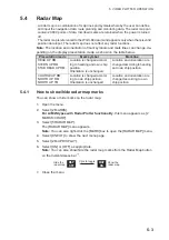
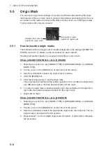
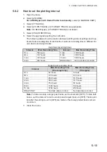
Where [4 MARK POSITION] is set to [L/L]
1. Referring to section 5.2, set [3 MARK TYPE] to [ORIGIN MARK No.] or [ORIGIN
MARK SYM].
2. Put the cursor on the [MARK] box at the bottom of the screen.
3. Spin the scrollwheel to select the appropriate origin mark, then left-click. RADAR
MAP menu appears and the first digit of the latitude is selected.
4. Referring to section 5.3, set the latitude and longitude.
5. Repeat steps 1 to 3 for multiple origin mark inscription, or right-click to complete
the procedure.
5.5.2
How to set origin mark stabilization
Origin marks can be geographically fixed (ground stabilized) or moving (sea stabi-
lized).
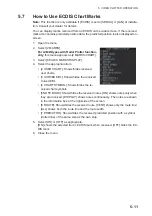
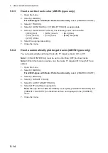
1. Open the menu.
2. Select [2 MARKS].
For A/B/W-types with Radar Plotter functionality
, this menu appears as [2
MARKS•CHART].
3. Select [5 RADAR MAP].
The [RADAR MAP] menu appears.
Note:
You can also right-click the [MARK] box to open the [RADAR MAP] menu.
4. Select [2 ORIGIN MARK STAB].
5. Select [GND] or [SEA] as appropriate.
6. Close the menu.
5.5.3
How to delete origin marks
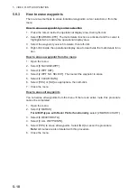
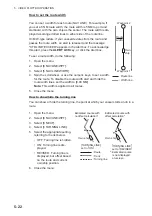
Unlike other marks, you can only delete origin marks individually. To delete origin
marks, follow the procedure below.
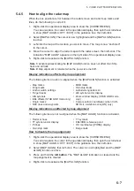
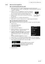
1. Select the operational display area, then right-click to show the [CURSOR] con-
text menu.
2. Select [MARK DELETE]. The cursor changes to a highlighted cursor.
3. Place the highlighted cursor on the origin mark to be deleted, then left-click.
4. Repeat step 3 to delete another origin mark, or press the
right button
to return
the cursor to normal function.
Summary of Contents for FAR-2218
Page 132: ...1 OPERATIONAL OVERVIEW 1 110 This page is intentionally left blank ...
Page 176: ...3 TARGET TRACKING TT 3 36 This page is intentionally left blank ...
Page 202: ...4 AIS OPERATION 4 26 This page is intentionally left blank ...
Page 232: ...5 VIDEO PLOTTER OPERATION 5 30 This page is intentionally left blank ...
Page 294: ......


